Vinings
| Vinings | ||
|---|---|---|
|
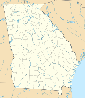
Location in Georgia
|
||
| Basic data | ||
| State : | United States | |
| State : | Georgia | |
| County : | Cobb County | |
| Coordinates : | 33 ° 52 ′ N , 84 ° 28 ′ W | |
| Time zone : | Eastern ( UTC − 5 / −4 ) | |
| Residents : | 9,677 (as of: 2000) | |
| Population density : | 1,180.1 inhabitants per km 2 | |
| Area : | 8.5 km 2 (about 3 mi 2 ) of which 8.2 km 2 (about 3 mi 2 ) is land |
|
| Height : | 279 m | |
| Postal code : | 30339 | |
| Area code : | +1 770 | |
| FIPS : | 13-79612 | |
| GNIS ID : | 0356615 | |
| Website : | www.vinings.com | |
Vinings is a suburb of Atlanta , Georgia in Cobb County . Vinings is right on the border of the city of Atlanta, which is formed by the Chattahoochee River and which is also the border between Atlanta and Cobb County. Vinings is known as a somewhat upscale residential area and the home of home improvement store operator Home Depot . Vining's main street is Paces Ferry Road, which used to lead to a Hardy Pace- operated ferry across the Chattahoochee. The center of Vining lies between the river and Interstate 285 , which forms a ring around Atlanta.
Vinings was originally a small settlement outside of Atlanta near a small train station. Not far from the city of Atlanta, Vinings was a day trip destination for city dwellers. The location on the road to the nearby pace ferry allowed easy access to the river. Today there is a diverse shopping area around the railroad / Paces Ferry Road junction. Between the shopping district and the river is a wooded residential area with mostly elegant single houses. Between the shopping district and I-285 there is a mixed commercial and residential area, which mostly consists of multi-storey office buildings and residential complexes.
