Vourinos
| Vourinos (Βούρινος) | ||
|---|---|---|
| Highest peak | Drisinikos (Ντρισινίκος) ( 1866 m ) | |
| location | Greece ; Western Macedonia ( Kozani regional districts ; Grevena ) | |
|
|
||
| Coordinates | 40 ° 11 ′ N , 21 ° 40 ′ E | |
| rock | Crystalline | |
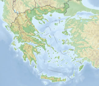
The Vourinos ( Greek Βούρινος , also Μπούρινος ( m. Sg. )) Is a mountain range in the Greek region of Western Macedonia . It extends about 30 km from northwest to southeast. Its highest peak, the Drisinikos (Ντρισινίκος), reaches 1866 m . The Vourinos is drained by the Aliakmonas River and its tributaries. While the northern slopes and lower regions are forested, the southern slopes and higher regions are mostly covered by grasslands. Adjacent mountain ranges are Siniatsiko (Askio) in the north and Kamvounia in the southeast.
The closest municipalities are Chromio in the east, Paleokastro in the northwest and Pontini in the southwest. Larger cities are Grevena in the west and Kozani in the northeast. The Aftokinitodromos 2 ( Autobahn 2 or Egnatia Odos ) from Igoumenitsa via Ioannina , Kozani, Thessaloniki to Alexandroupoli and the Ethniki Odos 20 (National Road 20) from Kozani via Konitsa to Ioannina run along its northern borders.
history
The mountain played a role in history as one of two starting points of the Greco-Macedonian uprising in the spring of 1878. The uprising was directed against the provisions of the Peace of San Stefano and demanded the annexation of Ottoman Macedonia to Greece.
Hiking routes
Designated hiking routes lead into the gorge of Chantaka (Φαράγγι Χάντακας) near Eani and from Chromio to Drisinikos, the highest peak.
Individual evidence
- ↑ Oreivatein.com
- ↑ Greek hikers on Oreivatein.com
