Whigham (Georgia)
| Whigham | ||
|---|---|---|
|
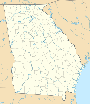
Location in Georgia
|
||
| Basic data | ||
| State : | United States | |
| State : | Georgia | |
| County : | Grady County | |
| Coordinates : | 30 ° 53 ′ N , 84 ° 20 ′ W | |
| Time zone : | Eastern ( UTC − 5 / −4 ) | |
| Residents : | 471 (as of 2010) | |
| Population density : | 154.9 inhabitants per km 2 | |
| Area : | 3.07 km 2 (approx. 1 mi 2 ) of which 3.04 km 2 (approx. 1 mi 2 ) is land |
|
| Height : | 86 m | |
| Postcodes : | 31797, 39897 | |
| Area code : | +1 229 | |
| FIPS : | 13-82412 | |
| GNIS ID : | 0333406 | |
Whigham is a city in Grady County , Georgia , United States . At the 2010 census, the population was 471.
geography
The US Route 84 runs through the center of the city. It runs eight miles east to Cairo and 15 miles west to Bainbridge . The next larger city, Tallahassee ( Florida ), is about 50 kilometers south, the capital of Georgia, Atlanta , about 380 kilometers north. The urban area extends over an area of 3.07 km².
population
In 2010 a population of 471 people was determined, which corresponds to a decrease of 25.3% compared to 2000. There are 191 housing units in Whigham.
education
Whigham has Whigham School, a K-8 school, a school that teaches students between the ages of 5 and 14. The high school students attend Cairo High School in the neighboring city of Cairo .
Personalities
- Johnnie Marshall (* 1961), guitarist, born in Whigham
Individual evidence
- ↑ a b American FactFinder - Results. US Census Bureau, accessed June 19, 2019 .
- ↑ Whigham, Georgia (GA 39897) profile: population, maps, real estate, averages, homes, statistics, relocation, travel, jobs, hospitals, schools, crime, moving, houses, news, sex offenders. In: city-data.com. Retrieved June 19, 2019 .
