Wittlinger Höhe
| Wittlinger Höhe | |||
|---|---|---|---|
| Compass direction | North | south | |
| Pass height | 437 m above sea level NHN | ||
| state | Baden-Württemberg | ||
| Valley locations | Whiting | Haagen | |
| expansion | K 6344 | ||
| Mountains | Röttler forest | ||
| profile | |||
| Max. Incline | 11% | 11% | |
| Map (Baden-Württemberg) | |||
|
|
|||
| Coordinates | 47 ° 39 '10 " N , 7 ° 40' 4" E | ||
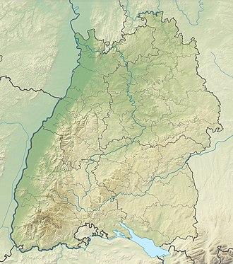
The Wittlinger Höhe , also called Wittlinger Buck or Wittlinger for short , is 437 m above sea level. NHN high pass crossing between the Loerrach district of Haagen and Wittlingen . The peculiarity of the pass is that the top of the pass belongs to the district of Rümmingen , the north ramp to Whiting and the south ramp to Haagen. The pass is a cross-connection between the Wiesen and Kandertal valleys , and thus one of two passes in addition to the gap that establish this connection.
history
The Wittlinger Höhe pass crossing and the associated road between Wittlingen and Haagen were built in 1940 by members of the Wehrmacht as a strategic connection.
profile
From the village of Wittlingen, the north ramp leads two kilometers in length to the top of the pass and overcomes a height difference of 146 meters, which corresponds to an average gradient of 7.3%. The maximum gradient is 11% and is reached shortly after leaving Wittlingen.
There is a forest parking lot on both sides of the road at the top of the pass. The northern one is called Kleeplatz . A fitness trail leads from the southern Stern car park over the Schlosshalde to Rötteln Castle . There are also five RV parking spaces at the Kleeplatz car park .
The southern ramp from Haagen leads 2.2 kilometers to the pass and overcomes a height of 132 meters. This corresponds to an average gradient of 6%; the maximum gradient is also 11% and is reached shortly after the branch to the green waste collection point.
High altitude hiking trail
From the Luckepass in the southwest, the "Hohe Straße" leads over the Wittlinger Höhe 10.1 kilometers along the mountain ridge to the Scheideckpass and overcomes 270 meters in altitude. The circular path of the “Röttler Wald” forest also runs along the Hohe Straße .
At the Wittlinger Höhe the hiking trail crosses the car road.
Web links
- Wittlinger Höhe (437) - pass description
Individual evidence
- ↑ Michael Fautz: Hauingen. The village and its people in old pictures . Geiger-Verlag, Horb am Neckar 1995, ISBN 3-89570-027-4 . , P. 106.
- ↑ Information on the motorhome parking spaces on the Wittlinger Höhe , last accessed on June 5, 2019
