Zoji La
| Zoji La | |||
|---|---|---|---|
|
|
|||
| Compass direction | west | east | |
| Pass height | 3528 m | ||
| District | Ganderbal | Kargil | |
| Watershed | are | Dras | |
| Valley locations | Sonamarg | Dras | |
| expansion | Pass road | ||
| Mountains | Himalayas | ||
| Map (Ladakh) | |||
|
|
|||
| Coordinates | 34 ° 15 '40 " N , 75 ° 26' 33" E | ||
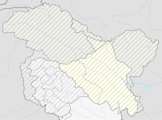
The Zoji La is located in the western Himalayas between the union territories of Jammu and Kashmir and Ladakh in northwest India .
It separates the source areas of the Sind (in the catchment area of the Jhelam ) in the west and the Dras (in the catchment area of the Suru ) in the east. The 400 km long National Highway 1D leads over the 3528 m high pass to Srinagar in the Kashmir Valley in the west and via Dras and Kargil to Leh in Ladakh in the east.
Snowfall blocks Zoji La for about six months of the year from mid-November to early June. In spring, the Border Roads Organization (BRO) clears the snow and cleans up road damage caused by landslides . In 2008, about 18 m of snow fell on Zoji La.
Web links
Commons : Zoji La - collection of pictures, videos and audio files
Individual evidence
- ↑ Thaindian.com: Srinagar-Leh highway to reopen after remaining closed for six months . March 20, 2009. Retrieved June 30, 2009.
- ↑ Thaindian.com: Srinagar-Leh highway to reopen after remaining closed for six months . March 28, 2008. Retrieved June 30, 2009.

