A51 road
| A51 road in the UK | |

|
|
| map | |
| Basic data | |
| Operator: | |
| Start of the street: | Kingsbury (Warwickshire) |
| End of street: | Chester |
| Overall length: | 127 km (78.9 mi ) |
| The A51 outside Chester (photo 2010) | |
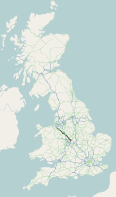
The A51 road ( English for road A51 ) is a 127 km long road in England , only partially designated as a primary route .
course
The road branches off the M42 motorway east of Birmingham at Kingsbury , first leads north to Tamworth , crosses the A5 road there and then runs north parallel to the A5 past Lichfield (from the junction with the A38 road as the primary route) to the north-west Rugeley and Stone to the A34 road . Beyond Stone it loses its character as a primary route again, crosses (without a connection) the M6 motorway and the A53 road . Nantwich is bypassed in the east and from the junction with the A500 road the A51 becomes the primary route again. Tarporley is bypassed on a short section shared with the A49 road . The A51 continues to Chester , in the center of which it ends shortly after the junction with the A55 road that bypasses the city .

