Baltra
| Baltra (Seymur Sur) | ||
|---|---|---|
| Waters | Pacific Ocean | |
| Archipelago | Galapagos Islands | |
| Geographical location | 0 ° 26 '52 " S , 90 ° 16' 22" W | |
|
|
||
| surface | 27 km² | |
| Residents | uninhabited | |
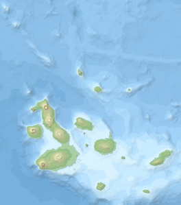
Baltra (Spanish: Isla Baltra , English: Baltra Island ) is one of the smaller islands in the Galápagos Archipelago .
The island also called Seymour Sur , in contrast to the island of Seymour Norte , which is still to the north , is only about 1 km off the north coast of Santa Cruz , the second largest island in the archipelago. Administratively, the non-military parts of the island belong to the Municipalidad de Santa Cruz , based in Puerto Ayora . Seymour Airport ( IATA code: GPS, ICAO code: SEGS) is located on the approximately 27 km² island, the most commercially used airport in the archipelago (the second is in Puerto Baquerizo Moreno on San Cristóbal ) many Galápagos tourists set foot on this island first. On the island there is also a military base of the Ecuadorian army (all three armed forces are represented) and facilities of the coast guard with attached barracks.
The island of Baltra is not part of the Galápagos National Park because of the military base.
During the Second World War , the USA built a military airfield to protect the western approach to the Panama Canal . The units stationed here were not involved in combat operations at any time.
Individual evidence
- ↑ GPS - Airport , gcmap.com.
