Contamana
| Contamana | ||
|---|---|---|
|
|
||
| Coordinates | 7 ° 21 ′ S , 75 ° 1 ′ W | |
| Basic data | ||
| Country | Peru | |
| Loreto | ||
| province | Ucayali | |
| ISO 3166-2 | PE-LOR | |
| District | Contamana | |
| height | 134 m | |
| Residents | 17,429 (2017) | |
| founding | circa 1807 | |
| Website | www.muniucayali.gob.pe (Spanish) | |
| politics | ||
| mayor | Héctor Soto García (2019-2022) |
|
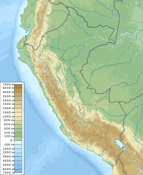
Contamana is the capital of the Ucayali Province in the Loreto region in north-eastern Peru . The city is also the administrative seat of the district of the same name . The city had 17,429 inhabitants at the 2017 census, 10 years earlier the population was 22,055.
The city of Contamana is located at an altitude of 134 m in the Peruvian Amazon lowlands on the right bank of the Río Ucayali . Pucallpa , the capital of the Ucayali region , is 125 km south-south-east of Contamana.
Individual evidence
- ↑ Peru: Loreto Region - Provinces & Places . www.citypopulation.de. Retrieved January 17, 2020.

