Loreto region
| Loreto region | |||
|---|---|---|---|
| Symbols | |||
|
|||
| Basic data | |||
| Country | Peru | ||
| Capital | Iquitos | ||
| surface | 368,852 km² | ||
| Residents | 1,039,400 (2015) | ||
| density | 2.8 inhabitants per km² | ||
| ISO 3166-2 | PE-LOR | ||
| Website | www.regionloreto.gob.pe (Spanish) | ||
| politics | |||
| Gobernador regional | Elisbán Ochoa (2019-2022) | ||
| Provinces of the Loreto region | |||
Coordinates: 4 ° S , 73 ° W
The Loreto [ loˈɾeto ] region (Spanish Región Loreto , Quechua Luritu suyu ) is the largest administrative region in Peru . It is located in the northeast of the country. 1,039,400 people (2015) live in an area of 368,852 km². The capital is Iquitos .
geography
The Loreto region borders on Ecuador in the northwest , Colombia in the north and Brazil in the east . The region is largely covered by tropical rainforest . The climate is very humid and hot. The average annual temperature is 26.3 ° C. The Amazon is formed here by the rivers Marañón , Huallaga and Ucayali , which flows east to Brazil.
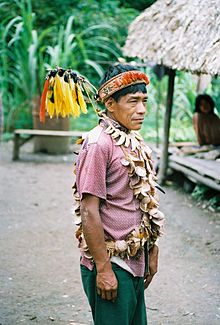
The largest nature reserve in Peru, Pacaya-Samiria, is located in the region . The Aguano tribe is also based in the Loreto region .
Provinces
The Loreto region is divided into eight provinces and 51 districts.
Web links
- http://www.regionloreto.gob.pe/ Regional government of the Loreto region


