Crowninshield Island
| Crowninshield Island | ||
|---|---|---|
| The island as seen from Marblehead | ||
| Waters | Marblehead Harbor , Atlantic Ocean | |
| Geographical location | 42 ° 30 '47 " N , 70 ° 50' 31" W | |
|
|
||
| length | 285 m | |
| width | 170 m | |
| surface | 2 ha | |
| Residents | uninhabited | |
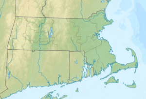
Crowninshield Island (formerly Brown's Island ) is a 5 acres (2 ha ) island in Marblehead Harbor in the Atlantic Ocean about 120 meters off the coast of Marblehead in the state of Massachusetts in the United States . It is managed as a nature reserve by the organization The Trustees of Reservations .
Protected area
For a long time, the island served as a recreational island for the residents of the surrounding area and was given to the trustees in 1955 by Louise DuPont Crowninshield. Various mussels as well as tide-dependent plants and animals can be seen in saltwater ponds, and migratory birds nest on the coast. There are also sandy beaches as well as open and small forest areas. A circular route around the island is available for visitors to the island.
See also
Individual evidence
- ^ About Crowninshield Island. (No longer available online.) The Trustees of Reservations , archived from the original on December 15, 2013 ; accessed on December 15, 2013 . Info: The archive link was inserted automatically and has not yet been checked. Please check the original and archive link according to the instructions and then remove this notice.


