
Fatuwaque
| Fatuwaque | |||

|
|||
| Data | |||
| surface | 39.86 km² | ||
| population | 438 (2015) | ||
| Chefe de Suco | Mateus Manuel (election 2009) |
||
| Aldeias | Population (2015) | ||
| Camedar | 638 | ||
| Ranac | 720 | ||
|
|||

Fatuwaque ( Fatuwaqui ; formerly Abat Oan , Abatoan ) is an East Timorese Suco in the Barique administrative office ( municipality of Manatuto ).
geography
| Fatuwaque | ||
| places | position | height |
| Camedar | 8 ° 58 ′ S , 126 ° 4 ′ E | 113 m |
| Ranac | 8 ° 58 ′ S , 126 ° 4 ′ E | 113 m |
| Wemau Badak | 8 ° 57 ' S , 126 ° 6' E | ? |
Before the 2015 territorial reform, Fatuwaque had an area of 81.32 km². Now there are 39.86 km². The Suco is located in the center of the Barique administrative office. To the south is the Suco Aubeon , southwest of the Suco Uma Boco , west of the Suco Manehat and northeast of the Suco Barique . In the east, Fatuwaque borders on the administrative office of Lacluta with its Suco Ahic and the administrative office of Viqueque with its Suco Luca (both municipality of Viqueque ). The Motobeca river rises in the north and flows into the Culacao . The Culacao roughly follows the border between the Sucos Fatuwaque and Barique up to its confluence with the Dilor , which also forms the border with the municipality of Viqueque. The Lianura , a tributary of the Sáhen, flows through the west .
The Suco is relatively sparsely populated. There are only three major towns that are located on the southern coastal road of East Timor. The road also forms the border with Aubeon. Two of them, Camedar and Ranac on the southern border, are part of the settlement center of Uma Boco , the other districts of which are located in the Suco of the same name. Wemau Badak is in the east, just before the coastal road leaves the Suco. There is also a primary school here. In between, another larger road turns north towards the town of Barique . In the Suco is the Important Bird Area of the Makfahik and Sarim Mountains .
The two Aldeias Camedar and Ranac are located in the Suco .
Residents
The Suco has 438 inhabitants (2015), 220 men and 218 women. The population density is 11.0 inhabitants / km². There are 86 households in the Suco. Over 72% of the population name Tetum Terik as their mother tongue. Almost 20% speak Habun , almost 5% Tetum Prasa , minorities Idaté , Idalaka , Mambai or Makasae .
politics
In the elections of 2004/2005 was Francisco Castanheira elected Chefe de Suco and in 2009 re-elected.
Web links
- Results of the 2010 census for the Suco Fatuwaque (Abat Oan) ( tetum ; PDF; 8.3 MB)
- Results of the 2015 census for the Suco Fatuwaque (tetum; PDF)
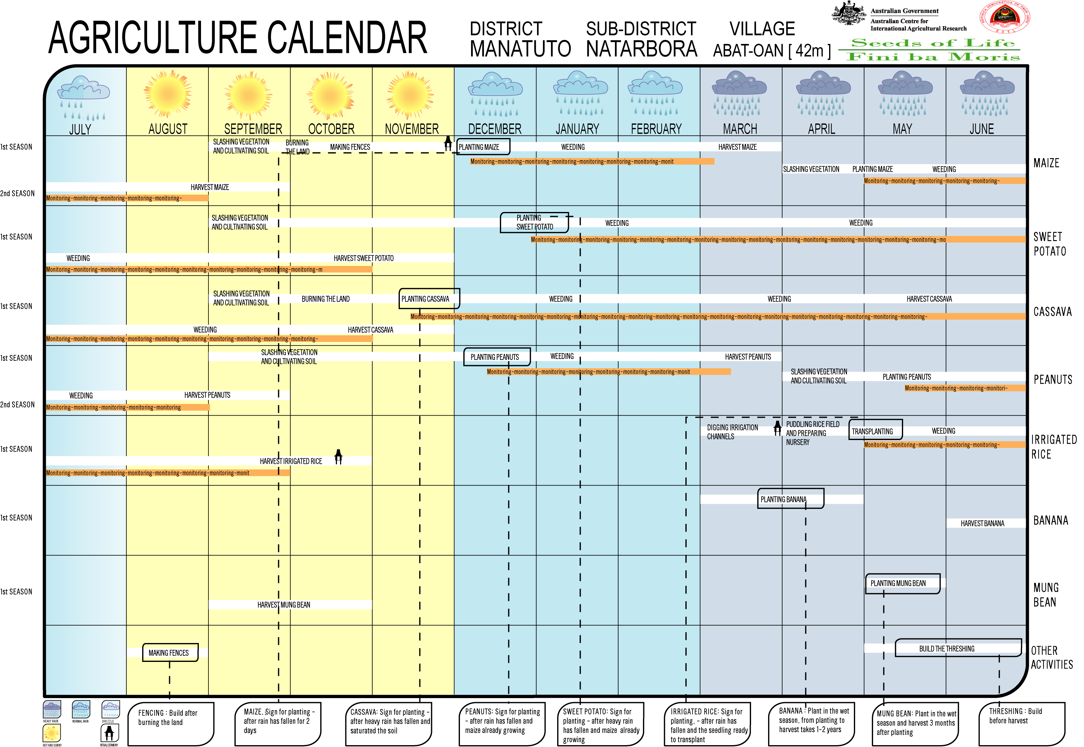
- Seeds of Life: Agriculture Calendar (English)
- Seeds of Life: Suco information sheets Barique (tetum)
Individual evidence
- ↑ a b c d Direcção-Geral de Estatística : Results of the 2015 census , accessed on November 23, 2016.
- ↑ Fallingrain.com: Directory of Cities, Towns, and Regions in East Timor
- ↑ Direcção Nacional de Estatística: Population Distribution by Administrative Areas Volume 2 English ( Memento from January 5, 2017 in the Internet Archive ) (Census 2010; PDF; 22.6 MB)
- ↑ a b Timor-Leste GIS Portal ( Memento from June 30, 2007 in the Internet Archive )
- ↑ UNMIT map of the Manatuto district, August 2008 ( Memento of December 3, 2011 in the Internet Archive ) (PDF; 581 kB)
- ↑ CI-GEF PROJECT AGENCY GEF Project Document. Retrieved February 10, 2019 .
- ↑ Jornal da Républica with the Diploma Ministerial n. 199/09 ( Memento of February 3, 2010 in the Internet Archive ) (Portuguese; PDF; 323 kB)
- ↑ Results of the 2010 census for the Suco Fatuwaque (Abat Oan) ( tetum ; PDF; 8.3 MB)
- ↑ Secretariado Técnico de Administração Eleitoral STAE: Eleições para Liderança Comunitária 2004/2005 - Resultados ( Memento of August 4, 2010 in the Internet Archive )
- ↑ Secretariado Técnico de Administração Eleitoral STAE: Eleições para Liderança Comunitária 2009 - Resultados ( Memento of August 4, 2010 in the Internet Archive )
![]() Map with all coordinates: OSM | WikiMap
Map with all coordinates: OSM | WikiMap
The administrative borders within East Timor changed in 2015. This article must therefore be checked and updated if necessary. See New Administrative Boundaries .