
Manehat
| Manehat | |||

|
|||
| Data | |||
| surface | 101.86 km² | ||
| population | 688 (2015) | ||
| Chefe de Suco | Sebastião da Costa (election 2009) |
||
| Aldeias | Population (2015) | ||
| Dambua Hun | 186 | ||
| Isadan | 161 | ||
| Nu-Ahuc | 341 | ||
|
|||

Manehat ( German "four men" ) is an East Timorese place and Suco in the administrative office of Barique ( municipality of Manatuto ).
The place
The place Manehat is located in the center of Sucos, at an altitude of 653 m . Here is the primary school of sucos, the Escola Primaria Manehat . There is also a medical station here.
The Suco
| Manehat | ||
| places | position | height |
| Dambua Hun | 8 ° 55 ′ S , 125 ° 58 ′ E | 653 m |
| Fatobalon | 8 ° 55 ′ S , 125 ° 58 ′ E | 642 m |
| Isadan | 8 ° 56 ' S , 125 ° 58' E | ? |
| Manehat | 8 ° 55 ′ S , 125 ° 58 ′ E | 653 m |
| Nu-Ahuc | 8 ° 55 ′ S , 125 ° 58 ′ E | 642 m |
688 inhabitants (2015) live in Manehat, of which 369 are men and 319 women. The population density is 6.8 inhabitants / km². There are 136 households in the Suco. Over 99% of the population name Tetum Terik as their mother tongue.
Before the 2015 territorial reform, Manehat had an area of 103.08 km². Now there are 101.86 km². The Suco is to the west of the Barique administrative office. In the northeast is the Suco Barique , in the east of the Suco Fatuwaque and in the southeast of the Suco Uma Boco . In the northwest is the Soibada administrative office with its sucos Leo-Hat and Samoro . Across the Sáhen River lies the Fatuberlio administrative office ( Manufahi municipality ) with its Suco Clacuc . In the border area to the river rises Fatuwaque Lianura flowing first to Fatuwaque, but then with the coming of Manehat Quec united to Laniara, which forms the border between Manehat and Uma Boco. The Laniara finally flows into the Sáhen. The Motana rises in the border area between Manehat and Leo-Hat and flows into the Sáhen. The Ribeira Culacao rises in the northeast of Manehat and then roughly follows the border between the Sucos Fatuwaque and Barique up to its confluence with the Dilor . The Nabaonada rises on the northern edge of Manehat and flows along the border between the Sucos Leo-Hat and Barique. It flows into the Buco , another tributary of the Dilors.
The highway from Uma Boco to the municipal capital of Manatuto runs through the Suco from southeast to northwest . All the larger towns of Manehat lie on it. These are Isadan , Fatobalon , Manehat , Nu-Ahuc ( Nuahuc ) and Dambua Hun ( Dambohum ). Isadan also has a primary school.
In the Suco there are the three Aldeias Dambua Hun , Isadan and Nu-Ahuc .
politics
In the 2004/2005 elections , João Baptista was elected Chefe de Suco. In the 2009 elections won Sebastião da Costa .
Web links
- Results of the 2010 census for the Suco Manehat ( tetum ; PDF; 8.3 MB)
- Results of the 2015 census for the Suco Manehat (tetum; PDF)
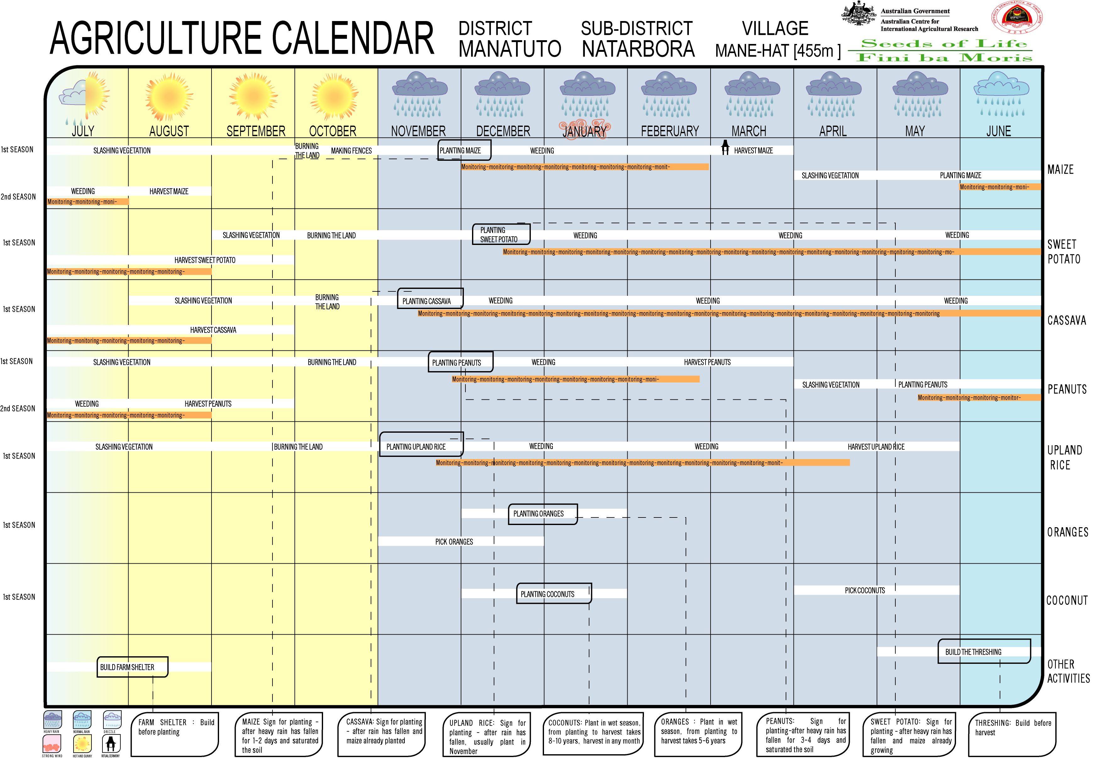
- Seeds of Life: Agriculture Calendar (English)
- Seeds of Life: Suco information sheets Barique (tetum)
Individual evidence
- ↑ a b c d Direcção-Geral de Estatística : Results of the 2015 census , accessed on November 23, 2016.
- ↑ List of polling stations for the parliamentary elections in East Timor 2007 (PDF file; 118 kB)
- ↑ a b UNMIT: Timor-Leste District Atlas version 02, August 2008 ( Memento of the original dated December 3, 2011 in the Internet Archive ) Info: The archive link was inserted automatically and has not yet been checked. Please check the original and archive link according to the instructions and then remove this notice. (PDF; 581 kB)
- ↑ Fallingrain.com: Directory of Cities, Towns, and Regions in East Timor
- ↑ Results of the 2010 census for the Suco Manehat ( tetum ; PDF; 8.3 MB)
- ↑ Direcção Nacional de Estatística: Population Distribution by Administrative Areas Volume 2 English ( Memento of the original from January 5, 2017 in the Internet Archive ) Info: The archive link has been inserted automatically and has not yet been checked. Please check the original and archive link according to the instructions and then remove this notice. (2010 census; PDF; 22.6 MB)
- ^ Timor-Leste GIS-Portal ( Memento from June 30, 2007 in the Internet Archive )
- ↑ Jornal da Républica with the Diploma Ministerial n. 199/09 ( Memento of February 3, 2010 in the Internet Archive ) (Portuguese; PDF; 323 kB)
- ↑ Secretariado Técnico de Administração Eleitoral STAE: Eleições para Liderança Comunitária 2004/2005 - Resultados ( Memento of August 4, 2010 in the Internet Archive )
- ↑ Secretariado Técnico de Administração Eleitoral STAE: Eleições para Liderança Comunitária 2009 - Resultados ( Memento of August 4, 2010 in the Internet Archive )
![]() Map with all coordinates: OSM | WikiMap
Map with all coordinates: OSM | WikiMap
The administrative borders within East Timor changed in 2015. This article must therefore be checked and updated if necessary. See New Administrative Boundaries .