Goat path
| Goat path | |||
|---|---|---|---|
|
Image from 1931 |
|||
| Compass direction | northwest | Southeast | |
| Pass height | 2474 m above sea level M. | ||
| Binntal , Canton of Valais , Switzerland | Valle Dévero , Verbano-Cusio-Ossola Province , Piedmont , Italy | ||
| Watershed | Binna ( Rhone ) | Toce ( Ticino / Po ) | |
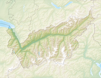
| Map (Valais) | |||
|
|
|||
| Coordinates , ( CH ) | 46 ° 20 '47 " N , 8 ° 15' 22" O ( 662 936 / 133110 ) | ||
The Geisspfad Pass (Italian Passo della Rossa ) is a 2474 m above sea level. M. high pass in the Swiss canton of Valais , which leads west of the Albrun Pass and parallel to it over the southern main ridge of the Alps .
geography
The border between Italy and Switzerland runs at the top of the pass, five kilometers east of the Swiss town of Binn . The Geisspfad Pass is a secondary crossing from the Valais Binntal to the Alpe Dévero in the Italian Valle Dévero . A little below the top of the pass is the Geisspfadsee on the Swiss side , over which the steep Rothorn, formed from the rare red serpentine rock (ital. Punta della Rossa ) with a height of 2887 m above sea level. M. raises.
history
The transition has an alpine character. It is accessible for mountain hikers , but not for mule- haulers, and was therefore only of local importance. It used to be used occasionally by smugglers.
Web links
- Geisspfad on the ETHorama platform

