
Guadalcanal (Province)
| Guadalcanal | |
|---|---|

|
|
| geography | |
| Country: | Solomon Islands |
| Waters: | Pacific Ocean |
| Islands: | Main island as well as Nughu , Marapa and Rua Sura |
| Geographical location: | 9 ° 37 ′ S , 160 ° 11 ′ E |
| Basic data | |
| Surface: | 5336 km² |
| Residents: | 93,613 (Nov. 17, 2009) |
| Population density: | 18 inhabitants / km² |
| Capital: | Honiara |
| Situation map | |
 .svg) |
|
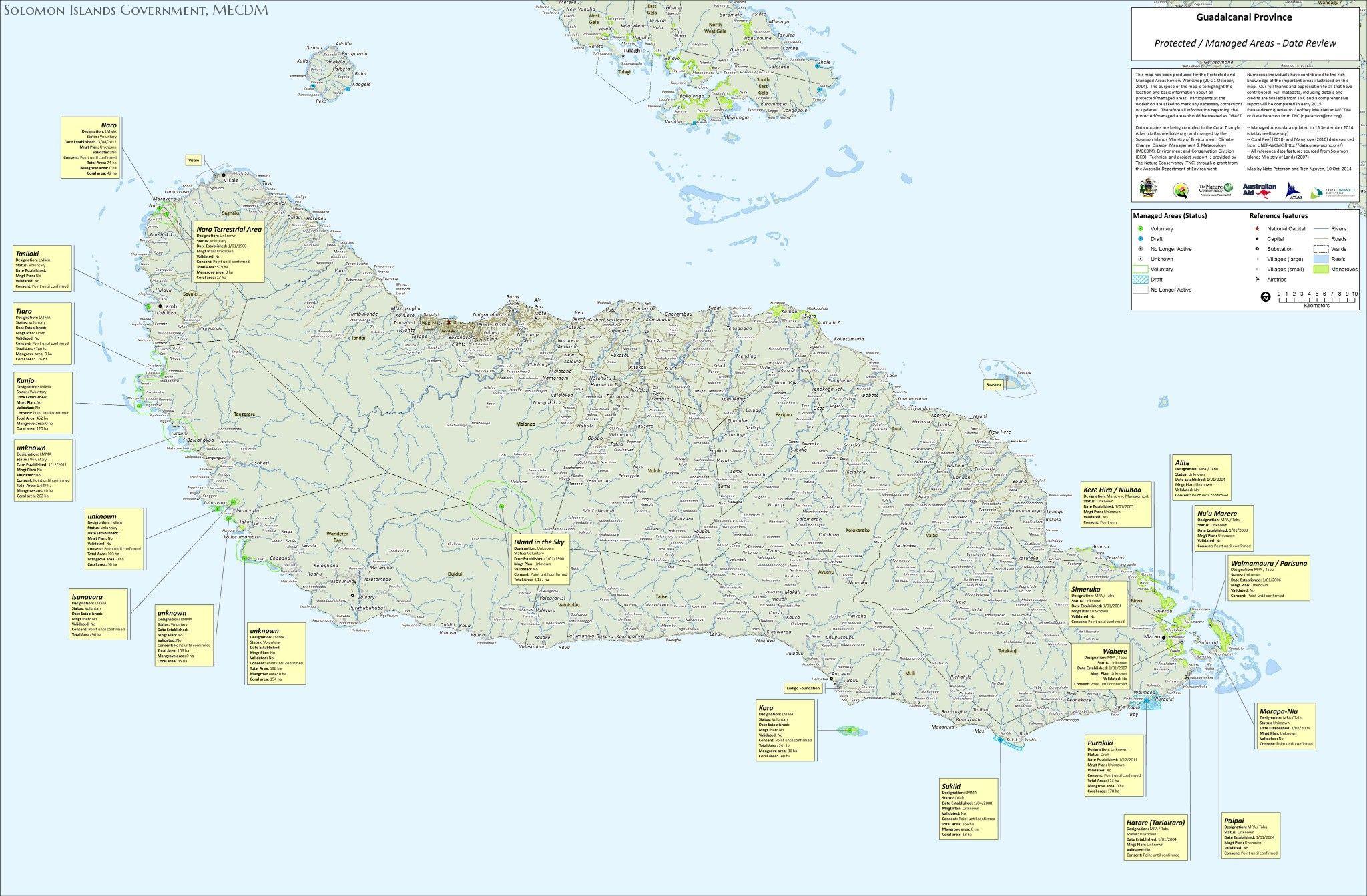
Guadalcanal is one of nine provinces of the Pacific island state of Solomon Islands . The province includes the main island of the same name and a few smaller islands in the vicinity (such as Nughu , Marapa and Rua Sura ). The area of the capital of the island republic of Solomon Islands, Honiara (with a population of 64,604 (2009 census) and an area of 22 km²) is not part of the province, but has been a separate capital district since 1983.
The area of the province is 5,336 km². The islands are predominantly densely forested and also geographically assigned to the Solomon Islands .
Honiara , the capital of the island republic of Solomon Islands, is located on the north coast of the island of Guadalcanal . In 2009 (census) the province had 93,613 inhabitants (excluding Honiara, see above). The province is divided into 22 districts ( wards ), which are grouped into eight electoral districts (constituencies). The most populous district with 14,995 inhabitants is Tandai , which surrounds the capital district on all sides.
From August 1942 to February 1943, the Battle of Guadalcanal between US and Japanese troops took place here. Somewhat north of the island, from November 13 to 15, 1942, the battle of Guadalcanal took place as part of these fighting .
The province of Guadalcanal was created like the other six provinces on January 29, 1982 by the Provincial Government Act of 1981, initially including the capital Honiara. Around July of the following year (1983) Honiara was spun off as the capital district.
Administrative division
The province of Guadalcanal is divided into 22 wards (with population figures according to the census of November 17, 2009), grouped according to eight electoral districts (constituencies):
Province of Guadalcanal (93,613)
|
.png)
Web links
- Map, pictures and information from the province
- Card with wards
- Map with ward boundaries (layer adm3 , zoom in approx. Four levels)
Individual evidence
Central | Choiseul | Guadalcanal | Isabel | Makira and Ulawa | Malaita | Rennell and Bellona | Temotu | Western | Honiara (capital district)