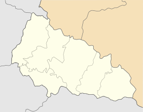
Hat (berehowe)
| Has | ||
| Гать | ||

|
|
|
| Basic data | ||
|---|---|---|
| Oblast : | Zakarpattia Oblast | |
| Rajon : | Berehove district | |
| Height : | 113 m | |
| Area : | 4.150 km² | |
| Residents : | 3,122 (2004) | |
| Population density : | 752 inhabitants per km² | |
| Postcodes : | 90231 | |
| Area code : | +380 3141 | |
| Geographic location : | 48 ° 19 ' N , 22 ° 38' E | |
| KOATUU : | 2120482801 | |
| Administrative structure : | 2 villages | |
| Mayor : | Bejlo Lewrinz | |
| Address: | вул. Головна 56 / а 90231 с. Гать |
|
| Statistical information | ||
|
|
||
Hat (Ukrainian Гать ; Russian Gat , Hungarian Gát , Slovak Hať ) is a place in Berehove Raion in the Zakarpattia Oblast in western Ukraine and is located north of Berehove .
The place was first mentioned as Gát in 1374 and is mostly inhabited by around 3,100 inhabitants of Hungarian descent on an area of 4.15 km².
Until 1919 the place belonged to the Empire Austria-Hungary or Hungary , afterwards as part of the Carpathian-Ukraine to Czechoslovakia . With the annexation it came back to Hungary in 1938–1945, from 1945 the place is part of the Soviet Union and since 1991 part of the Ukraine. The place forms together with the neighboring town Tschykosch-Horonda a district council.

