Heart River
| Heart River | ||
|
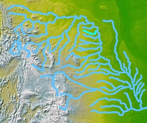
Map of the Missouri River basin , Heart River highlighted |
||
| Data | ||
| Water code | US : 1034918 | |
| location | North Dakota (USA) | |
| River system | Mississippi River | |
| Drain over | Missouri River → Mississippi River → Gulf of Mexico | |
| source | in Little Missouri National Grassland 46 ° 56 ′ 13 ″ N , 103 ° 13 ′ 49 ″ W |
|
| muzzle | South of Mandan in the Missouri River Coordinates: 46 ° 46 ′ 3 " N , 100 ° 50 ′ 31" W 46 ° 46 ′ 3 " N , 100 ° 50 ′ 31" W |
|
| Mouth height |
495 m
|
|
| length | 290 km | |
| Reservoirs flowed through | Patterson Reservoir , Lake Tschida | |
| Small towns | Mandan | |
| Communities | Gladstone | |
|
The Heart River near Mandan , North Dakota (1949 image) |
||
The Heart River is a 290-kilometer tributary of the Missouri River in western North Dakota in the United States .
Run
The Heart River rises in the plains of Billings County , in the Little Missouri National Grassland near the southern half of Theodore Roosevelt National Park and flows generally east through the Stark County to Gladstone where the Green River discharges. It then flows past Belfield and South Heart , through Patterson Reservoir to Dickinson, and then in an east-southeast direction into Grant County . It then flows through the artificial Lake Tschida , which is dammed by the Heart Butte Dam . Below the dam, the course then turns to the northeast and reaches Morton County , in which it flows into the Missouri River about 11 km south of Mandan on the eastern border of Fort Abraham Lincoln State Park .

