Heten
| Heten | ||
| Гетен | ||

|
|
|
| Basic data | ||
|---|---|---|
| Oblast : | Zakarpattia Oblast | |
| Rajon : | Berehove district | |
| Height : | 103 m | |
| Area : | 1.278 km² | |
| Residents : | 761 (Jul. 1, 2011) | |
| Population density : | 595 inhabitants per km² | |
| Postcodes : | 90222 | |
| Area code : | +380 3141 | |
| Geographic location : | 48 ° 17 ' N , 22 ° 23' E | |
| KOATUU : | 2120488002 | |
| Administrative structure : | 3 villages | |
| Mayor : | Pal Kish | |
| Address: | вул. Косоньська 9 90221 с. Попово |
|
| Statistical information | ||
|
|
||
Heten ( Ukrainian Гетен ; Russian Geten , Hungarian Hetyen ) is a place in Zakarpattia Oblast in Ukraine on the border with Hungary . The population is predominantly Hungarian-speaking. The official languages are Hungarian and Ukrainian.
In the Soviet era, the place got the Slavic-sounding name Lypowe (Липове), which the place wore until April 1, 1995.
location
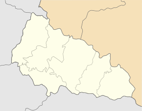
The place belongs to the district of Berehowe and is about 21 kilometers northwest of the Rajons capital Berehowe . It is about two kilometers to the Hungarian border west of the town.
Together with the villages of Popowo (Попово) and Male Popowo (Мале Попово) they form the district council of Popowo.
ethnicities
According to the municipal census, ▪80% Ukrainians ▪10% Russians ▪8% Magyars 2% did not give any ethnic group.
history
- First mentioned in 1270 in the Kingdom of Hungary
- 1920 through the Treaty of Trianon to Czechoslovakia
- 1938 back to Hungary through the First Vienna Arbitration
- 1945 to the Ukrainian Soviet Socialist Republic
- 1991 statehood of Ukraine

