Hoppenkamp
|
Hoppenkamp
City of Bergisch Gladbach
Coordinates: 50 ° 57 ′ 45 " N , 7 ° 9 ′ 24" E
|
||
|---|---|---|
|
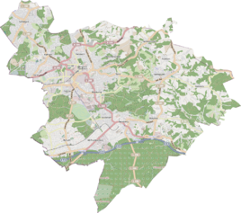
Location of Hoppenkamp in Bergisch Gladbach |
||
Hoppenkamp is a district in the Bensberg district of Bergisch Gladbach .
history
The name of the settlement Hoppenkamp picks up on an old designation that is recorded in this form in the original cadastre . In the second half of the 17th century, the field name was already mentioned in a list of the lords' rent to be paid to the lord of the castle. The defining word hop is a Cologne / Rhenish dialect for hops . The word Kamp means a piece of land. So in earlier times hops were harvested in a field, which was used as a raw material for alcoholic beers.
Individual evidence
- ^ Andree Schulte, Bergisch Gladbach, city history in street names , published by the Bergisch Gladbach city archive, volume 3, and by the Bergisches Geschichtsverein department Rhein-Berg e. V., Volume 11, Bergisch Gladbach 1995, p. 328, ISBN 3-9804448-0-5
