Independence Rock
| Independence Rock | ||
|---|---|---|
| National Register of Historic Places | ||
| National Historic Landmark | ||
|
Independence Rock |
||
|
|
||
| location | Natrona County , Wyoming | |
| Coordinates | 42 ° 29 '37 " N , 107 ° 7' 46" W | |
| NRHP number | 66000757 | |
| Data | ||
| The NRHP added | October 15, 1966 | |
| Declared as an NHL | January 20, 1961 | |
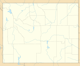
The Independence Rock [ ˌɪndɪpendəns rɑk ] (German Independence Rock ) is an approximately 36-meter-high granite rocks on the banks of the Sweetwater River in the southwest of Natrona County in the US state of Wyoming . In the mid-19th century, the rock was a very popular and famous meeting place for immigrants who wanted to travel to the western United States via the Oregon Trail . The settlers celebrated American Independence Day there , as they usually passed it on or around July 4th . It became a custom to chisel your name and the date of your visit and a little saying for posterity there.
The Independence Rock in January 1961, a "National Historic Landmark" ( National Historic Landmark explained). The rock has been listed as a site on the National Register of Historic Places since October 1966 .
See also
Web links
- National Park Service: Independence Rock in the database for National Historic Landmark (English)
- Independence Rock in the Geographic Names Information System of the United States Geological Survey
Individual evidence
- ↑ Listing of National Historic Landmarks by State: Wyoming. National Park Service , accessed March 14, 2020.
- ^ Independence Rock on the National Register of Historic Places , accessed March 14, 2020.

