Knjahynja
| Knjahynja | ||
| Княгиня | ||

|
|
|
| Basic data | ||
|---|---|---|
| Oblast : | Zakarpattia Oblast | |
| Rajon : | Velykyi Berezny district | |
| Height : | 506 m | |
| Area : | Information is missing | |
| Residents : | 319 (2001) | |
| Postcodes : | 89021 | |
| Area code : | +380 3135 | |
| Geographic location : | 48 ° 59 ' N , 22 ° 31' E | |
| KOATUU : | 2120885602 | |
| Administrative structure : | 2 villages | |
| Mayor : | Tetjana Tsar | |
| Address: | 89020 с. Стричава 48 | |
| Statistical information | ||
|
|
||
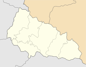
Knjahynja ( Ukrainian Княгиня ; Russian Княгиня Knjaginja , Slovak Kňahynín or Kňahinina , Hungarian from 1904 Csillagfalva - previously Knyahina ) is a village in the northwest of the Ukrainian Transcarpathian Oblast near the border with Slovakia .
The village, founded in 1602, is located in the west of the Velykyj Bereznyj district, 11 kilometers north of the Velykyj Bereznyj district center and 54 kilometers northeast of the Uzhhorod oblast center, the border with Slovakia runs immediately northwest of the place. Administratively, the place belongs to the district municipality Strytschawa .
In 1866 the Knyahinya meteorite crashed near the place .
Individual evidence
- ↑ Central Electoral Commission of Ukraine ( Memento of the original from May 21, 2017 in the Internet Archive ) Info: The archive link was inserted automatically and has not yet been checked. Please check the original and archive link according to the instructions and then remove this notice.

