Laurids de Therbu

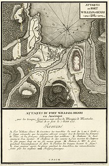
after a drawing by de Therbu, engraved by the Mainz court and university engraver Georg Joseph Cöntgen
Laurids de Therbu (* in the 18th century ; † in the 18th or 19th century ) was a German cartographer , draftsman , lieutenant engineer and publisher in particular of the 74 cartographic plans published by himself for the Seven Years War , 43 of which in the French Language explained collective work Les Plans De la guerre de Sept ans ... in Mainz when copperplate engravings by Georg Joseph Cöntgen and Georg Heinrich Tischbein were reproduced.
Therbus plans, which, according to his own account, often exceeded the accuracy of the competing authors, were also used by other officers , especially Prussian officers, as teaching and illustrative material on warfare .
In the year of the French Revolution , the book publisher Jäger , based in Frankfurt am Main , brought a lawsuit against de Therbu. In the Allgemeine Literatur-Zeitung in July 1789 , Jäger criticized the lack of agreement between the first ten engravings published by Therbu and the locations shown, incorrect descriptions and the “barbaric” French translation.
Web links
Individual evidence
- ↑ Compare the information in the catalog of the German National Library
- ↑ a b Compare the information from the Southwest German Library Association (SWB) and the information in the associated digital version of the entire work
- ↑ a b c o.F. : Lieutenant Engineer Therbu, to the impartial audience. In: Political Conversations of the Dead ("with kk Hofzensur Freyheit.") 3rd year, 2nd volume, Prague, 1789, p. 14f. ( Digitized via Google books )
- ↑ Hunter: War Science. In: Allgemeine Literatur-Zeitung. Numero 198, July 5, 1789, pp. 33-34. ( Digitized via Google books )
| personal data | |
|---|---|
| SURNAME | Therbu, Laurids de |
| BRIEF DESCRIPTION | German cartographer, draftsman, officer, engineer, editor and publisher |
| DATE OF BIRTH | 17th century or 18th century |
| DATE OF DEATH | 18th century or 19th century |