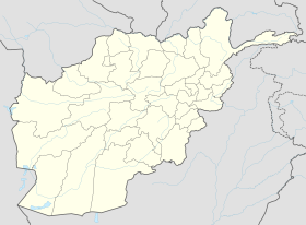
Lugar (river)
| Lugar | ||||
|
|
||||
| Data | ||||
| location | Afghanistan | |||
| River system | Indus | |||
| Drain over | Kabul → Indus → Indian Ocean | |||
| source | Mount Daimirdad, Wardak Province | |||
| muzzle |
River Kabul Coordinates: 34 ° 32 ′ 20 " N , 69 ° 17 ′ 40" E 34 ° 32 ′ 20 " N , 69 ° 17 ′ 40" E
|
|||
| Discharge at the Sekhabad A Eo gauge : 4834 km² |
MQ 1961/1964 Mq 1961/1964 |
7.85 m³ / s 1.6 l / (s km²) |
||
|
||||
The Lugar (also: Logar, Logwar) is a river in eastern Afghanistan.
geography
The Lugar rises on Mount Daimirdad in the south of Wardak province . In this province, the Lugar, here under the name Chak, initially flows in a north-easterly direction through the Chak district , where the Chak dam, which was built in the late 1930s, is located, then Sajedabad . Once in the province of Lugar , the Lugar joins the Barakibarak district with the Chark river coming from the south. The Lugar flows past Pul-i-Alam . He maintains the direction until km to 60, in the vicinity of Camp Warehouse in Kabul in the river Kabul opens.
Literature & web links
- Hafizullah Rasouli: A Study on some River Sediments, Hydrology and Geological Characteristics in Chak Sedimentary Basin, Wardak, Afghanistan , in: International Journal of Geology, Earth & Environmental Sciences ISSN 2277-2081 ( PDF with map )
- Entry in the encyclopedia Britannica
Individual evidence
- ↑ UNESCO ( Memento of the original from March 3, 2016 in the Internet Archive ) Info: The archive link was inserted automatically and has not yet been checked. Please check the original and archive link according to the instructions and then remove this notice.
- ↑ Hafizullah Rasouli: A Study on some River Sediments, Hydrology and Geological Characteristics in Chak Sedimentary Basin, Wardak, Afghanistan , in: International Journal of Geology, Earth & Environmental Sciences ISSN 2277-2081 , pp. 50-51
- ↑ Hafizullah Rasouli: A Study on some River Sediments, Hydrology and Geological Characteristics in Chak Sedimentary Basin, Wardak, Afghanistan , in: International Journal of Geology, Earth & Environmental Sciences ISSN 2277-2081 , pp. 50-51
