Mahanoy City
| Mahanoy City | ||
|---|---|---|
 Mahanoy City |
||
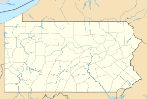
| Location in Pennsylvania | ||
|
|
||
| Basic data | ||
| Foundation : | 1859 | |
| State : | United States | |
| State : | Pennsylvania | |
| County : | Schuylkill County | |
| Coordinates : | 40 ° 49 ′ N , 76 ° 8 ′ W | |
| Time zone : | Eastern ( UTC − 5 / −4 ) | |
| Residents : | 4,647 (as of: 2000) | |
| Population density : | 3,574.6 inhabitants per km 2 | |
| Area : | 1.3 km 2 (approx. 1 mi 2 ) | |
| Height : | 378 m | |
| Postal code : | 17948 | |
| Area code : | +1 570 | |
| FIPS : | 42-46592 | |
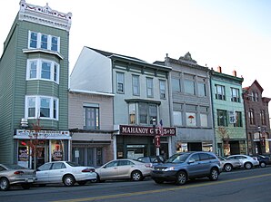
Mahanoy City is a city in Schuylkill County in the state of Pennsylvania in the United States .
geography
The city is 15 kilometers north of Pottsville , 20 kilometers south of Hazleton , five kilometers east of Shenandoah and 10 kilometers west of Tamaqua . The closest major town is Reading , which is approximately 70 kilometers away. The Interstate-81 highway passes nearby.
history
The name of the place is based on the name "Maghonioy" created by the Shawnee Indians, it was converted into Mahanoy by settlers in 1849 and later given the addition "City". The main source of livelihood was mining. Between 1862 and 1866 the population grew to about 6000 people, and 250 tons of anthracite coal were extracted from 20 mines per day. After that, the number of miners continued to rise, but fell again after 1920.
Demographics
The 2000 census ( United States Census 2000 ) showed a population of 4647 people, divided into 2113 households. The proportion of the fair-skinned population was almost 99%.
Personalities
- David Huebner (* 1960), American diplomat
- Victor Schertzinger (1890–1941), film composer, director, screenwriter and film producer
