
Mala Lyubasha
| Mala Lyubasha | |||
| Мала Любаша | |||

|
|
||
| Basic data | |||
|---|---|---|---|
| Oblast : | Rivne Oblast | ||
| Rajon : | Kostopil district | ||
| Height : | 180 m | ||
| Area : | 3.78 km² | ||
| Residents : | 1,099 (2001) | ||
| Population density : | 291 inhabitants per km² | ||
| Postcodes : | 35009 | ||
| Area code : | +380 3657 | ||
| Geographic location : | 50 ° 50 ' N , 26 ° 31' E | ||
| KOATUU : | 5623483901 | ||
| Administrative structure : | 11 villages | ||
| Address: | 35009 с. Мала Любаша | ||
| Statistical information | |||
|
|||


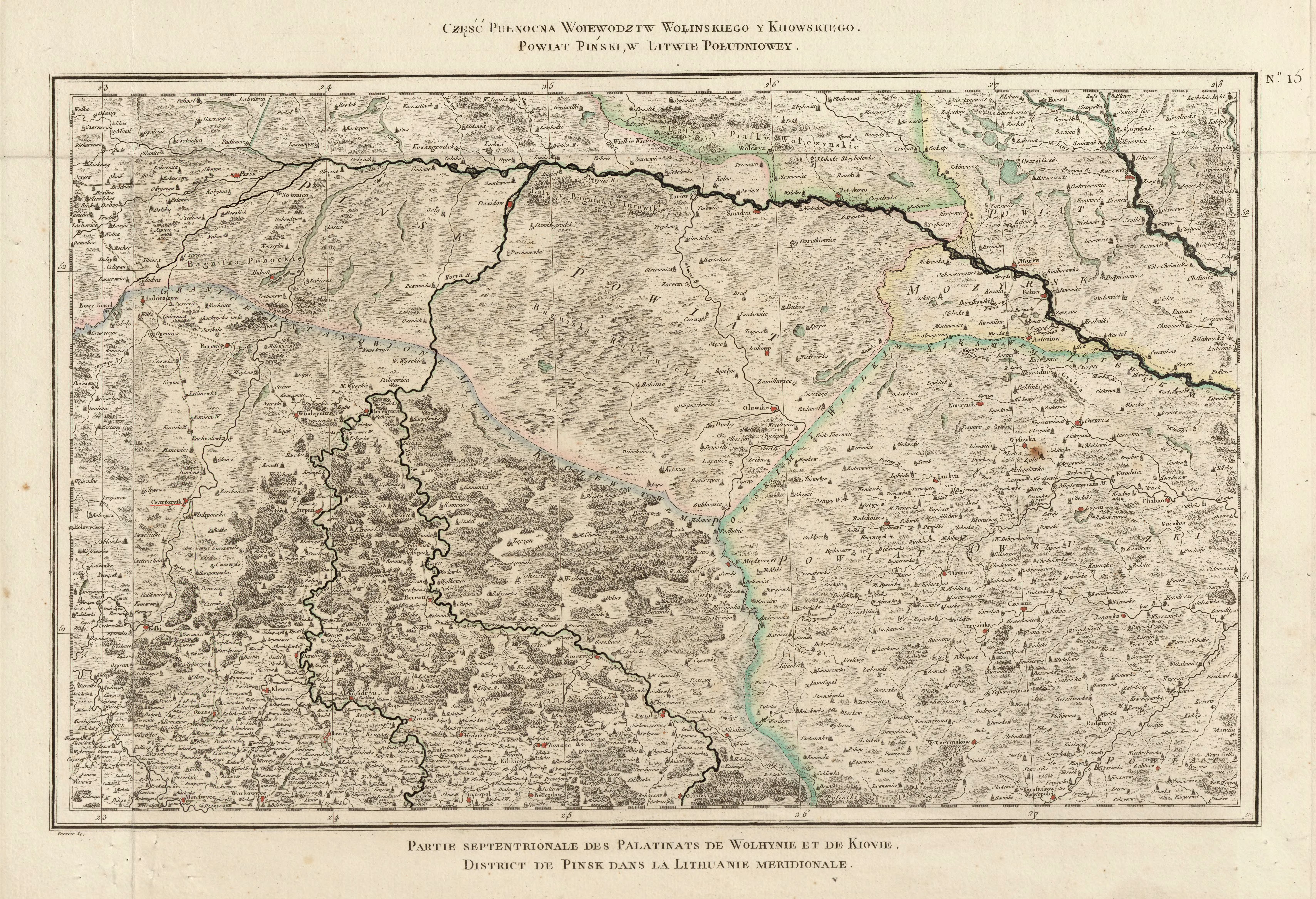
Mala Ljubascha ( Ukrainian Мала Любаша ; Russian Малая Любаша Malaya Ljubascha , Polish Lubaszka Mała or older Lubasza Mała ) is a village in West Ukraine about 7 kilometers southeast of the Rajonshauptstadt Kostopil and 31 kilometers northeast of the Oblasthauptstadt Rivne on the river Samtschysko (Замчисько) located.
,_%D1%81.%D0%9C%D0%B0%D0%BB%D0%B0_%D0%9B%D1%8E%D0%B1%D0%B0%D1%88%D0%B0,.jpg)
On August 11, 2017, the village became the center of the newly established rural community Mala Lyubascha ( Малолюбашанська сільська громада Maloljubaschanska silska hromada ). At that includes also the 10 villages Borschtschiwka , Dantschymist ( Данчиміст ) Hlaschewa ( Глажева ) Kamjana Hora ( Кам'яна Гора ) Lissopil ( Лісопіль ) Maschtscha ( Маща ) Myrne , Mokwyn ( Моквин ), Novy Berestowez ( Новий Берестовець ) and Tyche ( Тихе ), until then the village together with the villages Borschtschiwka and Lissopil formed the district council of the same name.
history
The place is mentioned in writing for the first time in 1629 and then belonged to the aristocratic republic of Poland-Lithuania in the Volyn Voivodeship until 1793 . With the partitions of Poland , the place fell to the later Russian Empire and was in the Volyn Governorate until the end of the First World War .
After the First World War the place became part of Poland (in the Voivodeship of Volyn , Powiat Kostopol , Gmina Kostopol ), during the Second World War it was occupied by the Soviet Union between 1939 and 1941. After the attack on the Soviet Union in June 1941 it was occupied by Germany until 1944 , this divided the place into the Reichskommissariat Ukraine in the general district Brest-Litowsk / Volhynien-Podolia , district Kostopol .
After the war, the place was added to the Soviet Union . There the village came to the Ukrainian SSR and since 1991 it has been part of today's Ukraine.
Web links
- Entry on the place in the Encyclopedia of the History of Cities and Villages of the Ukrainian SSR (Ukrainian)
- Lubasza Mała . In: Filip Sulimierski, Władysław Walewski (eds.): Słownik geograficzny Królestwa Polskiego i innych krajów słowiańskich . tape 15 , part 2: Januszpol – Wola Justowska . Walewskiego, Warsaw 1902, p. 240 (Polish, edu.pl ).
Individual evidence
- ↑ Відповідно до Закону України "Про добровільне об'єднання територіальних громад" у Рівненській області у Костопільському районі Малолюбашанська, Мащанська та Мирненська сільські ради рішеннями від 11 серпня 2017
- ↑ Rizzi Zannoni, Część Pułnocna Woiewodztw Wołińskiego y Kiiowskiego. Powiat Piński, w Litwie Południowey .; 1772