Borschtschiwka (Kostopil)
| Borschivka | ||
| Борщівка | ||

|
|
|
| Basic data | ||
|---|---|---|
| Oblast : | Rivne Oblast | |
| Rajon : | Kostopil district | |
| Height : | 184 m | |
| Area : | 2.11 km² | |
| Residents : | 791 (2001) | |
| Population density : | 375 inhabitants per km² | |
| Postcodes : | 35009 | |
| Area code : | +380 3657 | |
| Geographic location : | 50 ° 52 ' N , 26 ° 32' E | |
| KOATUU : | 5623483902 | |
| Administrative structure : | 1 village | |
| Address: | вул. Соборна буд. 10 35009 с. Мала Любаша |
|
| Website : | Official website of the rural community of Mala Lyubasha | |
| Statistical information | ||
|
|
||
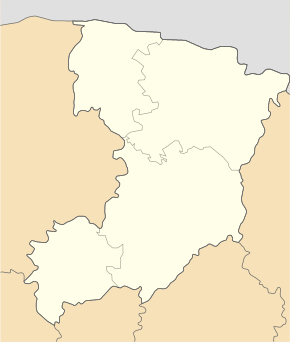
Borschtschiwka ( Ukrainian Борщівка ; Russian Борщовка Borschtschowka , Polish Borszczówka ) is a village in the center of the Ukrainian Rivne Oblast with about 800 inhabitants (2001).
Geographical location
The village is located in the border region of the Volyn -Podolian Plate and the Polish Lowlands ( Поліська низовина Poliska nysowyna ) at an altitude of 184 m , 4 km north of the community center Mala Lyubascha , 9 km east of the district center Kostopil and 40 km northeast of the center of Rivne Oblast . The regional road P – 05 runs four kilometers west of the village .
history
The village was at the time of its first written mention at the end of the 16th century in the Polish-Lithuanian Voivodeship Volhynia . With the Third Partition of Poland , the village fell to the Russian Empire in 1795 and was there until the end of the First World War in the Rivne district of Okrug Isjaslav , Volhynia governorate , where it was an administrative part of the city of Kostopil. It then came to the West Ukrainian People's Republic and, as part of western Volhynia , after the Polish-Ukrainian War and during the Polish-Soviet War in March 1920, it became part of the Volhynian Voivodeship within the Second Republic of Poland ( Powiat Kostopol , Gmina Kostopol ). In September 1939 the village was occupied by the Soviet Union . After the German invasion of the Soviet Union , the village was occupied by Germany during the German-Soviet War from July 1, 1941 to January 1944 and incorporated into the general district of Brest-Litovsk / Volhynia-Podolia , Kostopol district of the Reichskommissariat Ukraine . On May 4, 1943, a German motorcade was attacked near the village. In the same year, the Germans completely destroyed the village and burned down the houses.
After the Second World War , the village came to the Ukrainian SSR within the Soviet Union in the course of the westward displacement of Poland . From 1950 on, the village, together with the villages of Mala Lyubascha and Lissopil ( Лісопіль ), belonged to the district council of Mala Lyubascha . In 1960 the village was electrified. Borschiwka has been part of independent Ukraine since the collapse of the Soviet Union in 1991. Since August 11, 2017, the village has belonged to the newly founded rural community Mala Lyubascha ( Малолюбашанська сільська громада Maloljubaschanska silska hromada ) in the east of Kostopil district .
Sons and daughters of the village
- Wenedykt Aleksijtschuk (born January 16, 1968 ), Ukrainian Greek Catholic bishop of Chicago .
Web links
- Borszczówka . In: Filip Sulimierski, Władysław Walewski (eds.): Słownik geograficzny Królestwa Polskiego i innych krajów słowiańskich . tape 15 , part 1: Abablewo – Januszowo . Walewskiego, Warsaw 1900, p. 215 (Polish, edu.pl ).
Individual evidence
- ↑ Local website on the official website of the Verkhovna Rada ; accessed on May 22, 2020 (Ukrainian)
- ^ Local history of Borschtschiwka on the official website of the rural community Mala Lyubascha ; accessed on May 22, 2020 (Ukrainian)
- ^ Municipal council of the village Mala Lyubascha , history of the village; accessed on May 22, 2020 (Ukrainian)

