
Melas (Kastoria)
|
Local community Melas Τοπική Κοινότητα Μελά (Μελάς) |
|||
|---|---|---|---|
|
|||
| Basic data | |||
| Country |
|
||
| region | Western Macedonia | ||
| Regional district | Kastoria | ||
| local community | Kastoria | ||
| Parish | Korestia | ||
| Geographic coordinates | 40 ° 42 ′ N , 21 ° 16 ′ E | ||
| Height above d. M. |
996 m (average) |
||
| surface | 22.126 km² | ||
| Residents | 118 (2011) | ||
| LAU-1 code no. | 16010706 | ||
 |
|||

Melas ( Greek Μελάς ( m. Sg. ) Bulgarian and Macedonian Статица Statista ) is the northernmost town of the municipality of Kastoria in the northern Greek region of Western Macedonia . Together with the hamlet of Ano Melas, it forms the local community of Melas. The village with the former Bulgarian name Statista was named in 1927 after Pavlos Melas , who was killed here in 1904 during the battle for Macedonia.
location
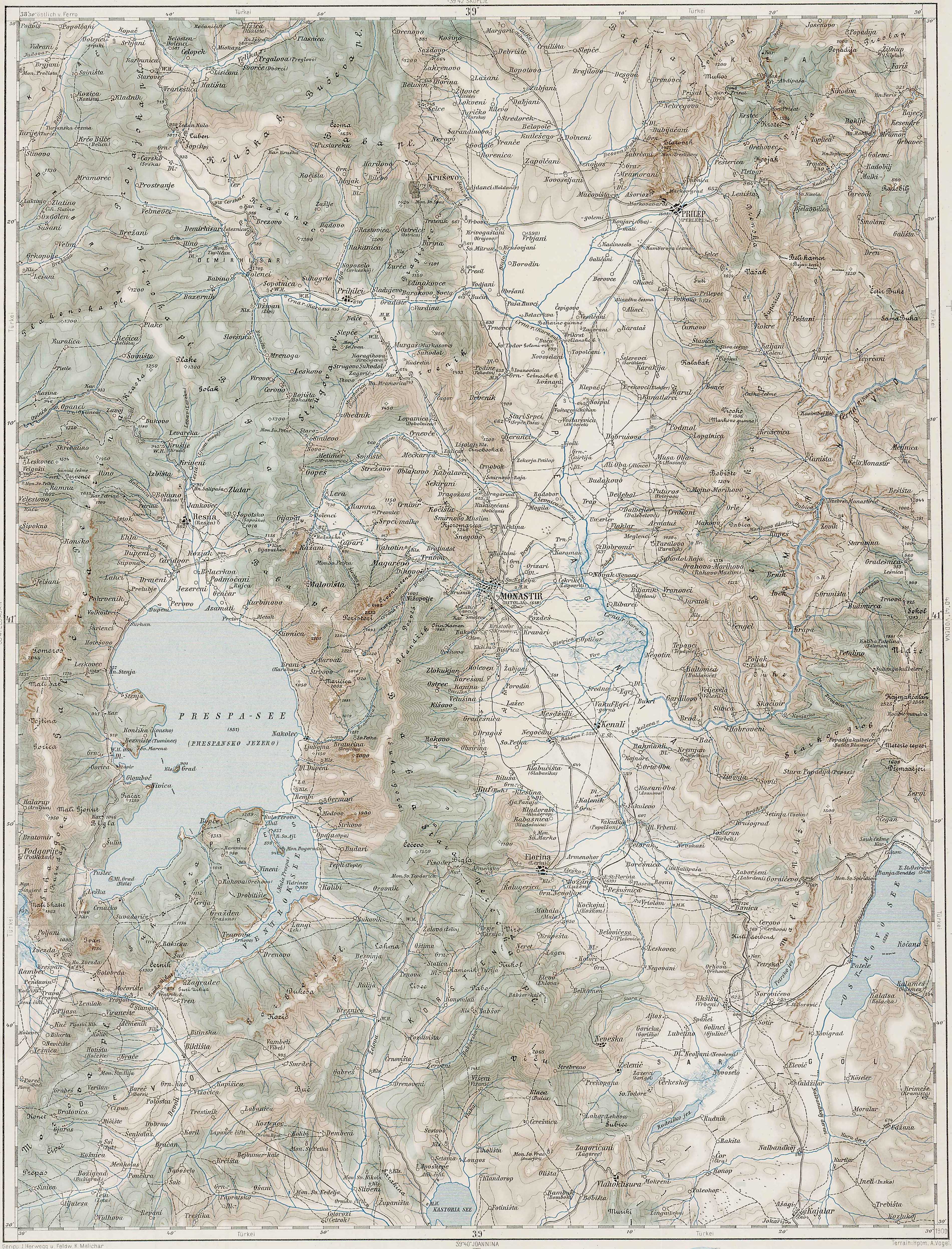
The local community Melas is located in the far north of the municipality of Kastoria. The south-facing valley of the Makrochoriou Potamos is naturally bounded by the Verno Mountains to the east and north to the municipality of Florina and to the west by the municipality of Prespes by a range of hills running parallel to the Triklario massif. The Makrochoriou Potamos is a source stream of the Ladopotamos, which flows into the Aliakmonas west of Lake Kastoria .
history
Only sparse records exist about the remote village from the end of the 19th century. Information on the population from the beginning of the 20th century is contradictory; depending on the source, it is cited as Christian, Bulgarian or Orthodox, Greek.
The French geographer Alexandre Synvet gives Statitcha 900 inhabitants. According to the travel notes of the Greek officer and engineer Nikolaos Schinas published in 1886, Statista consisted of three districts, was inhabited by 600 people and had a church, a well and an inn. The Franzisco-Josephinische Landesaufnahme records the two districts of Gorna and Dolna Statica .
From 1904 the armed conflict over Macedonia, which officially belonged to the Ottoman Empire, was carried out by Bulgarian and Greek guerrilla groups. After the officer Pavlos Melas had been appointed leader of the partisan groups in Macedonia and had crossed the Turkish-Greek border with his group, they were placed in Statista by a Turkish unit and Melas on October 13th July. / October 26th, 1904 greg. fatally injured.
By the late 1920s, many villagers emigrated to the United States. They told the US authorities that they were ethnic Macedonians. The security authorities classified them as anti-Greek or with ambiguous convictions. According to the Greek authorities, the village population was foreign-speaking in 1932 and Slavic-speaking in 1945. 53 residents lost their lives during the Greek Civil War ; at the end of the civil war in 1948 and 1949, over 300 people left the two villages, mostly for Yugoslavia but also for other countries in Eastern Europe.
As a result of the Balkan Wars , parts of Macedonia were annexed to Greece. The rural community Statista ( Κοινότητα Στατίστης Kinótita Statístis ) was founded in 1918 and renamed in 1927 in memory of Pavlos Melas from the Bulgarian name Statista to Melas ( Κοινότητα Μελά Kinótita Melá ). The district of Ano Melas was recognized as a rural municipality settlement in 1940.
On the occasion of the municipal reform in 1997, Melas was merged with six other rural municipalities to form the municipality of Korestia , which merged into the municipality of Kastoria after the administrative reform in 2010 , where Melas has since had the status of a local community.
- Population development of Melas
| Surname | 1920 | 1928 | 1940 | 1951 | 1961 | 1971 | 1981 | 1991 | 2001 | 2011 |
|---|---|---|---|---|---|---|---|---|---|---|
| Melas | 550 | 564 | 495 | 238 | 221 | 137 | 114 | 97 | 96 | 88 |
| Ano Melas | 198 | 91 | 82 | 50 | 53 | 50 | 47 | 30th | ||
| total | 550 | 564 | 693 | 329 | 303 | 187 | 167 | 147 | 143 | 118 |
Individual evidence
- ↑ Results of the 2011 census, Greek Statistical Office (ΕΛ.ΣΤΑΤ) ( Memento from June 27, 2015 in the Internet Archive ) (Excel document, 2.6 MB)
- ↑ Δημήτρης Λιθοξόου [Dimitris Lithoxoou]: Οικισμοί της Φλώρινας που αρχίζουν από Σ. Online (greek)
- ↑ Alexandre Synvet: Les Grecs de l'Empire ottoman: Etude statistique et ethnographique. Constantinople 1878, p. 56. Online (French)
- ↑ Nikolaos Schinas [Nικόλαος Σχινάς]: Οδοιπορικαί σημειώσεις Μακεδονίας, Ηπείρου, νέας οροθετικής γραμμής και Θες σσς και Θες Athens 1886, p. 248. Online Στάτιστα (Greek)
- ↑ Green-. and Dl-. Statica ('upper' and 'lower statica'), Monastir map sheet, 1900
- ↑ Kyriaki Doukelli: History of Macedonia and Thrace from the Balkan Wars to the First World War. Foreign political events and their internal political repercussions. A source study. University of Mannheim, 2008, [Dissertation], p. 104 f. PDF online
- ↑ Δημήτρης Λιθοξόου (Greek)
- ↑ Max Vasmer : The Slavs in Greece. Berlin 1941, p. 196.
- ↑ Στάτιστα - Μελάς, Μετονομασίες των οικισμών της Ελλάδας (Greek)
- ↑ Κεντρική Ένωση Δήμων και Κοινοτήτων Ελλάδας (ΚΕΔΚΕ) Ελληνική Εταιρία Τοπικής Ανάπτυξης και Αυτοδιοίκησης (ΕΕΤΑΑ) (ed.): Λεξικό Διοικητικών Μεταβολών των Δήμων και Κοινοτήτων (1912-2001). Athens 2002, Volume 2 (Τόμος Β, λ – ω), ISBN 960-7509-47-1 , p. 105. (Greek)
- ↑ Κεντρική Ένωση Δήμων και Κοινοτήτων Ελλάδας (ΚΕΔΚΕ) Ελληνική Εταιρία Τοπικής Ανάπτυξης και Αυτοδιοίκησης (ΕΕΤΑΑ) (ed.): Λεξικό Διοικητικών Μεταβολών των Δήμων και Κοινοτήτων (1912-2001). Athens 2002, Volume 1 (Τόμος Α, α – κ), ISBN 960-7509-47-1 , p. 529. (Greek)
- ↑ Population of Melas 1920–2001, Greek Statistical Office ELSTAT, Digital Library (Greek)