
Ngorongoro (District)
| Ngorongoro District | |
|---|---|
 Location of the Ngorongoro District in Tanzania |
|
| Basic data | |
| Country | Tanzania |
| region | Arusha |
| surface | 14,036 km² |
| Residents | 174,278 (2012) |
| density | 12 inhabitants per km² |
| ISO 3166-2 | TZ-01 |
Coordinates: 3 ° 14 ′ S , 35 ° 29 ′ E

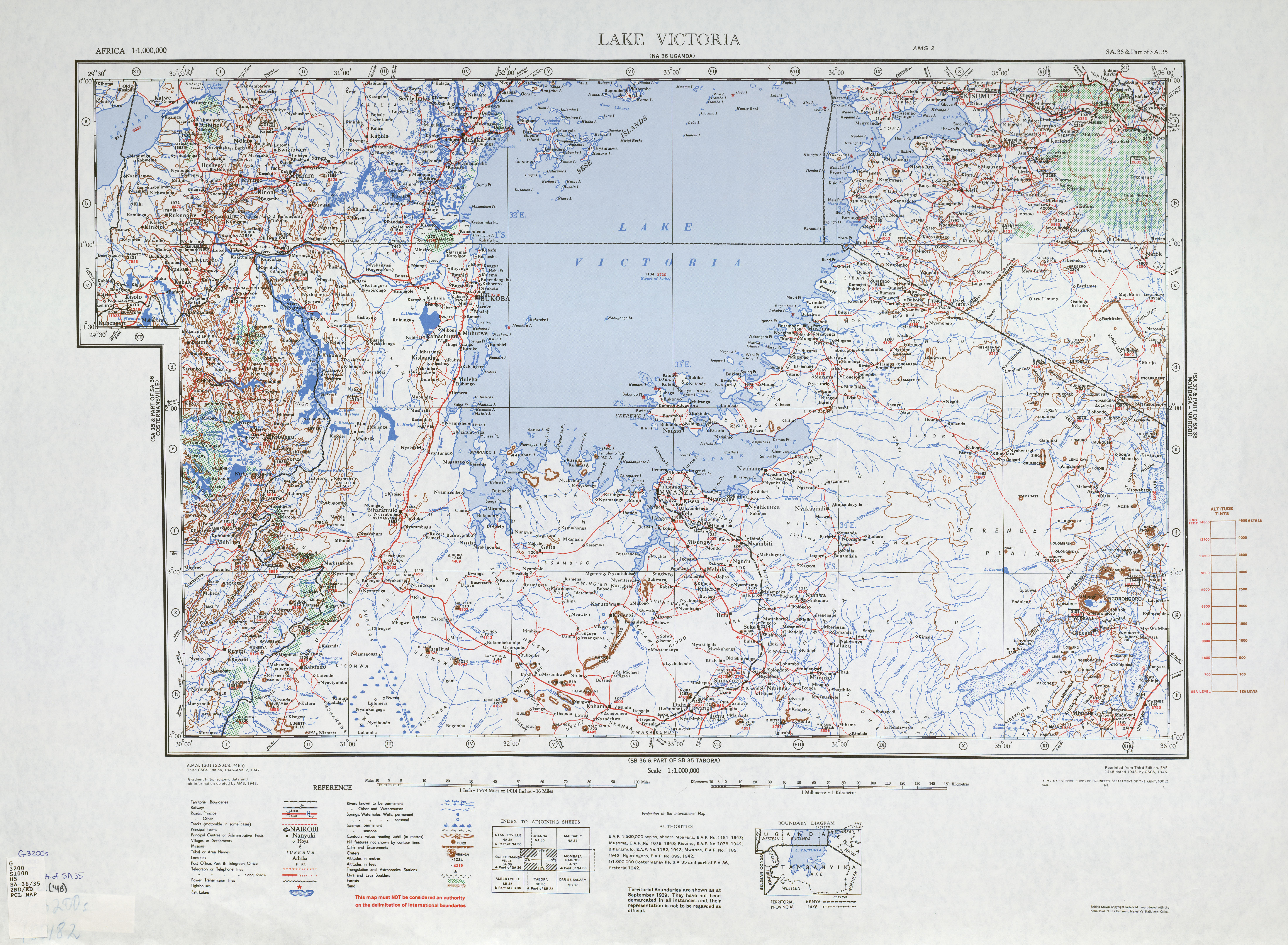
Ngorongoro is a district in the Tanzanian region of Arusha with the capital Loliondo . It borders the Republic of Kenya to the north, the Mara region to the west, the Karatu district to the south and the Longido and Monduli districts to the east .
geography
Ngorongoro is 14,036 square kilometers and has around 174,000 inhabitants (as of 2012), which results in a population density of 12 people per square kilometer. The land is over 1000 meters high. The salty Lake Eyasi lies at 1030 meters, the mountains reach heights of up to 3645 meters above sea level, the active volcano Ol Doinyo Lengai is known . The district is divided into three areas:
- Ngorongoro National Park , with 8,292 square kilometers it takes up almost sixty percent of the district area.
- The landscape of Loliondo and part of Sale. Agriculture and livestock are the main activities in these thirty percent of the area.
- The remaining ten percent is in the arid area of Lake Natron .

The climate is mild with rainfall of 800 to 1000 millimeters per year. In the months of June to October it hardly rains (monthly precipitation of 5 to 26 millimeters), from November to May it rains 100 to 200 millimeters per month. There are frequent strong easterly winds. The minimum average temperature ranges from 9.9 degrees Celsius in July to 14 degrees in December, the maximum average temperature from 14.5 in July to 18.3 degrees in December.
history
The Ngorongoro District was established in 1982.
Administrative division
The district is divided into three districts (divisions) with 28 parishes (wards):
Loliondo
|
Ngorongoro
|
Sale
|
populationThe population increased by 35 percent in the ten years from 2002 to 2012. 95 percent of the population lived in the country and only five percent in a city. Between 2002 and 2012, the literacy rate for those over fifteen increased from 28 to 43 percent, for men from 37 to 54 and for women from 21 to 34 percent. Of those over five, 65 percent could read and write swahili , one percent only in English and thirteen percent were able to read and write swahili and English. |
 |
Facilities and services
education
Ngorongoro had 67 elementary schools, 62 public schools, and five private schools. Of the 7–13 year olds, 52.9 percent attended school. If there was almost no difference between girls and boys, school attendance was 96 percent in the city and 51 percent in the countryside (as of 2016).
health
There were 2 hospitals, 5 health centers and 26 pharmacies in the district. Four percent of the population had social security (as of 2012).
Economy and Infrastructure
|
In 2012, 27 percent of the population had a radio and 3 percent a television, 43 percent had a mobile phone and 1 percent had a computer. AgricultureAgriculture was the main source of income, with almost 90 percent of the working population employed in agriculture (as of 2016). 50,000 hectares were used for agriculture, which corresponds to around four percent of the area of the district. Mainly corn, bananas, beans and vegetables were grown. The main livestock were cattle, sheep and goats. Droughts threatened crop yields as well as animal husbandry. trafficThe trunk road T17 (formerly B144) leads from Karatu across the district to Simiyu . |
 |


tourism
- Ngorongoro Nature Reserve: The area of the Ngorongoro Crater, declared a UNESCO World Heritage Site in 1979, is the district's main tourist attraction. The rare black rhinos, buffalos, elephants, lions, different species of antelopes, zebras, warthogs, wildebeests and jackals are among the inhabitants.
- Oldupai Museum: This museum contains the most important early human finds from the Olduvai Gorge , which Louis Leakey discovered in 1959.
- Laetoli: site of fossil footprints of hominids.
Web links
Individual evidence
- ^ Tanzania Regional profiles. Retrieved October 12, 2019 .
- ^ Tanzania Regional Profiles, 02 Arusha Regional Profiles. (pdf) The United Republic of Tanzania, 2016, p. 16 , accessed on October 13, 2019 .
- ↑ Lake Victoria. The University of Texas at Austin, accessed October 13, 2019 .
- ↑ a b Arusha Region, Historia. The United Republic of Tanzania, accessed October 13, 2019 (Swahili).
- ↑ Climate Data, Ngorongoro. Retrieved October 13, 2019 .
- ^ Ngorongoro District Council, Councilors, Wards. The United Republic of Tanzania, accessed October 14, 2019 .
- ^ Tanzania Regional Profiles, 02 Arusha Regional Profiles. (pdf) The United Republic of Tanzania, 2016, pp. 16-17 , accessed on October 13, 2019 .
- ^ Tanzania Regional Profiles, 02 Arusha Regional Profiles. (pdf) The United Republic of Tanzania, 2016, p. 68 , accessed on October 13, 2019 .
- ^ Tanzania Regional Profiles, 02 Arusha Regional Profiles. (pdf) The United Republic of Tanzania, 2016, p. 71 , accessed on October 13, 2019 .
- ^ Ngorongoro, Primary Education. The United Republic of Tanzania, accessed October 14, 2019 .
- ^ Tanzania Regional Profiles, 02 Arusha Regional Profiles. (pdf) The United Republic of Tanzania, 2016, p. 81 , accessed on October 13, 2019 .
- ^ Ngorongoro District Council, Health. The United Republic of Tanzania, accessed October 14, 2019 (Swahili).
- ^ Tanzania Regional Profiles, 02 Arusha Regional Profiles. (pdf) The United Republic of Tanzania, 2016, p. 124 , accessed on October 13, 2019 .
- ^ Tanzania Regional Profiles, 02 Arusha Regional Profiles. (pdf) The United Republic of Tanzania, 2016, pp. 121–122 , accessed on October 13, 2019 .
- ^ Tanzania Regional Profiles, 02 Arusha Regional Profiles. (pdf) The United Republic of Tanzania, 2016, p. 98 , accessed on October 13, 2019 .
- ^ Ngorongoro District Council, Agriculture. The United Republic of Tanzania, accessed October 14, 2019 (Swahili).
- ^ Google Maps, Ngorongoro. Retrieved October 18, 2019 .
- ^ Tanzania Regional Profiles, 02 Arusha Regional Profiles. (pdf) The United Republic of Tanzania, 2016, p. 130 , accessed on October 13, 2019 .
- ^ Ngorongoro Conservation Area. UNESCO, accessed October 14, 2019 .
- ^ Ngorongoro Conservation Area Authority. Retrieved October 14, 2019 .
Arusha City | Arusha | Karatu | Longido | Meru | Monduli | Ngorongoro