Orange (Connecticut)
| orange | ||
|---|---|---|
 seal |
 flag |
|
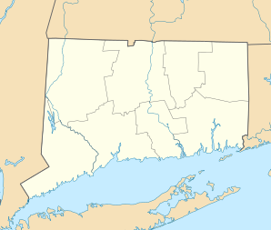
| Location in Connecticut | ||
|
|
||
| Basic data | ||
| Foundation : | 1822 | |
| State : | United States | |
| State : | Connecticut | |
| County : | New Haven County | |
| Coordinates : | 41 ° 17 ′ N , 73 ° 2 ′ W | |
| Time zone : | Eastern ( UTC − 5 / −4 ) | |
| Residents : | 13,970 (as of 2005) | |
| Population density : | 313.9 inhabitants per km 2 | |
| Area : | 45.1 km 2 (approx. 17 mi 2 ) of which 44.5 km 2 (approx. 17 mi 2 ) is land |
|
| Height : | 65 m | |
| Postal code : | 06477 | |
| Area code : | +1 203 | |
| FIPS : | 09-57600 | |
| GNIS ID : | 0213485 | |
| Website : | www.orange-ct.gov | |
Orange is a city in New Haven County in the US state of Connecticut , United States , with 13,700 inhabitants (as of 2004). The geographical coordinates are: 41.28 ° North, 73.03 ° West. The urban area has a size of 45.1 km². Orange is between the towns of West Haven to the east and Trumbull to the west.
history
Orange came into being in 1822 when the northern and eastern boroughs of Milford became an independent town. The city derives its name from the English King Wilhelm III. from Orange-Nassau . After a strong increase in population during the 19th century, a new city, West Haven , was formed again in 1922 from the southeastern boroughs . The districts that remained with Orange were much more rural than those ceded to West Haven.
Established businesses
There is a production facility for PEZ sweets in Orange .
schools
- Mary L. Tracy School
- Race Brook School
- Turkey Hill School
- Peck Place School
- Amity Regional Junior High School
sons and daughters of the town
- William Atherton (born 1947), actor
- John J. DeGioia (born 1957), philosopher, professor and president of Georgetown University
