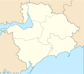
Orlivka (Prymorsk)
| Orlivka | ||
| Орлівка | ||

|
|
|
| Basic data | ||
|---|---|---|
| Oblast : | Zaporizhia Oblast | |
| Rajon : | Prymorsk Raion | |
| Height : | 8 m | |
| Area : | 4.127 km² | |
| Residents : | 862 (2001) | |
| Population density : | 209 inhabitants per km² | |
| Postcodes : | 72143 | |
| Area code : | +380 6137 | |
| Geographic location : | 46 ° 42 ' N , 36 ° 2' E | |
| KOATUU : | 2324884201 | |
| Administrative structure : | 2 villages | |
| Address: | вул. Шкільна 45 72143 с. Орлівка |
|
| Statistical information | ||
|
|
||
Orlivka ( Ukrainian Орлівка ; Russian Орловка Orlowka ) is a village in the south of the Ukrainian Oblast of Zaporizhia with about 800 inhabitants (2001).
The village was founded in 1861 is located in Rajon Prymorsk on the highway M 14 / E 58 28 km west of Rajonzentrum Prymorsk and 185 km southeast of the Oblastzentrum Zaporizhia .
The village Rajniwka (Ukrainian Райнівка ⊙ ) with about 600 inhabitants also belongs to the 5.9 km² district council whose administrative center is Orliwka . Orliwka is located on the banks of the 78 km long Losuwatka ( Лозуватка ), which flows a few kilometers further south into the Sea of Azov .
Individual evidence
- ^ Website of the village , accessed on January 25, 2016

