
Płaszów (Krakow)


Płaszów is a district of Kraków , in the Podgórze administrative district , on the right, southern bank of the Vistula in Poland .
history
The place was first mentioned in a document in 1254, in a document from Bolesław the Shameful for the Norbertan women in Zwierzyniec . The village was transferred to German law in 1421 by King Władysław II Jagiełło . Seven years later, the king bought the village from a noble landlord.
Politically, the place was initially part of the Kingdom of Poland (from 1569 in the aristocratic republic of Poland-Lithuania ), Krakow Voivodeship , Szczyrzyc District. When Poland was first partitioned in 1772, Płaszów became part of the new Kingdom of Galicia and Lodomeria of the Habsburg Empire (from 1804). From 1855 Płaszów belonged to the Podgórze District .
Between 1854 and 1856, three fortifications of the Kraków Fortress were built there. In 1855 the Galician Carl Ludwig Railway divided the village. In 1884 the Podgórze railway station was opened in Płaszów. In the late 19th century the village was industrialized.
According to the Austrian census of 1900 , the rural community of Płaszów had an area of 467 hectares with 173 houses and 1408 citizens, all of whom were Polish-speaking and the majority of the population was Roman Catholic (1366), and 39 Jews lived in the village .
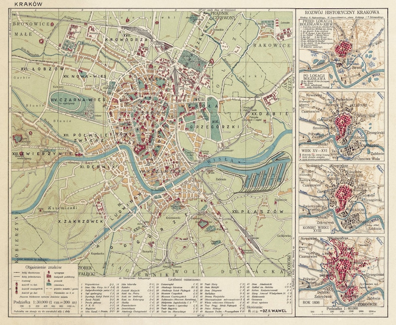
On June 1, 1901, the construction of the Oder-Vistula-Dniester Canal was decided by the Austrian House of Representatives through a bill. The administration of the city of Kraków wanted to build an inland port in Płaszów, so Kraków planned to connect the village. However, the municipality's administration refused Kraków's first offer from 1903. On February 1, 1912, the community was incorporated into Krakow. The inland port was never built, but it appeared on some of the maps of the time.
In 1921 the district XXI. Płaszów 228 buildings with 2619 inhabitants, all of them Polish nationality, the majority was Roman Catholic (2558), and the largest minority of Jews was 51 people.
During the Second World War, Płaszów became the site of the Plaszow concentration camp , where 8,000 people were murdered by the National Socialists.
Web links
Individual evidence
- ↑ a b History of Płaszów
- ↑ Ludwig Patryn (Ed.): Community encyclopedia of the kingdoms and countries represented in the Reichsrat, edited on the basis of the results of the census of December 31, 1900, XII. Galicia . Vienna 1907 ( online ).
- ^ A map from 1926
- ↑ Główny Urząd Statystyczny: Skorowidz miejscowości Rzeczypospolitej Polskiej. Województwo krakowskie i Śląsk Cieszyński . Warszawa 1925, p. 17 [PDF: 27] (Polish, Woj.krakowskie i Sląsk Cieszynski miejscowości.pdf ).
- ↑ Plaszow concentration camp | Krakow. Retrieved July 14, 2019 .
literature
- Małgorzata Klimas, Bożena Lesiak-Przybył, Anna Sokół: Wielki Kraków. Rozszerzenie granic miasta w latach 1910–1915 [Greater Krakow. Expansion of the city borders in the years 1910-1915] . Archiwum Państwowe w Krakowie, Kraków 2010, ISBN 978-83-927658-2-0 , p. 251–262 (Polish, English, online ).
Coordinates: 50 ° 2 ′ N , 19 ° 59 ′ E