Pampan (Bolognesi)
| Pampan | ||
|---|---|---|
|
|
||
| Coordinates | 10 ° 7 ′ S , 77 ° 9 ′ W | |
| Basic data | ||
| Country | Peru | |
| Ancash | ||
| province | Bolognesi | |
| ISO 3166-2 | PE-ANC | |
| District | Huasta | |
| height | 3100 m | |
| Residents | 303 (2017) | |
|
View of the valley of the Río Pativilca; Pampán is roughly in the center of the picture
|
||
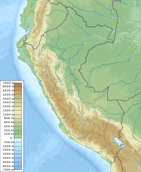
Pampán is a village in the Huasta District in the Bolognesi Province in the Ancash Region in western Peru .
location
The village is nestled at an altitude of 3100 m in a valley in the mountains of the Western Cordillera on the left bank of the south-flowing Río Pativilca , about an hour's walk from the village of Chiquián . It takes three to four hours to get to Huaraz by bus .
description
It is a small village with 303 inhabitants (as of 2017) and has only existed since the early 1970s, when many of the region's residents became homeless after the Ancash earthquake in 1970. Pampán was built from the ground up of adobe bricks to serve as a new village for many earthquake victims.
Culture
There is a school in the village and a project is underway to build and build a new library.
Individual evidence
- ↑ Peru: Ancash - Provinces & Places . www.citypopulation.de. Retrieved June 6, 2020.

