
Prykladnyky
| Prykladnyky | |||
| Прикладники | |||

|
|
||
| Basic data | |||
|---|---|---|---|
| Oblast : | Rivne Oblast | ||
| Rajon : | Sarichne district | ||
| Height : | 239 m | ||
| Area : | 2.1891 km² | ||
| Residents : | 273 (2006) | ||
| Population density : | 125 inhabitants per km² | ||
| Postcodes : | 34012 | ||
| Area code : | +380 3632 | ||
| Geographic location : | 51 ° 55 ' N , 25 ° 51' E | ||
| KOATUU : | 5622286203 | ||
| Administrative structure : | 1 village | ||
| Address: | вул. Центральна 1 34011 с. Сенчиці |
||
| Statistical information | |||
|
|||


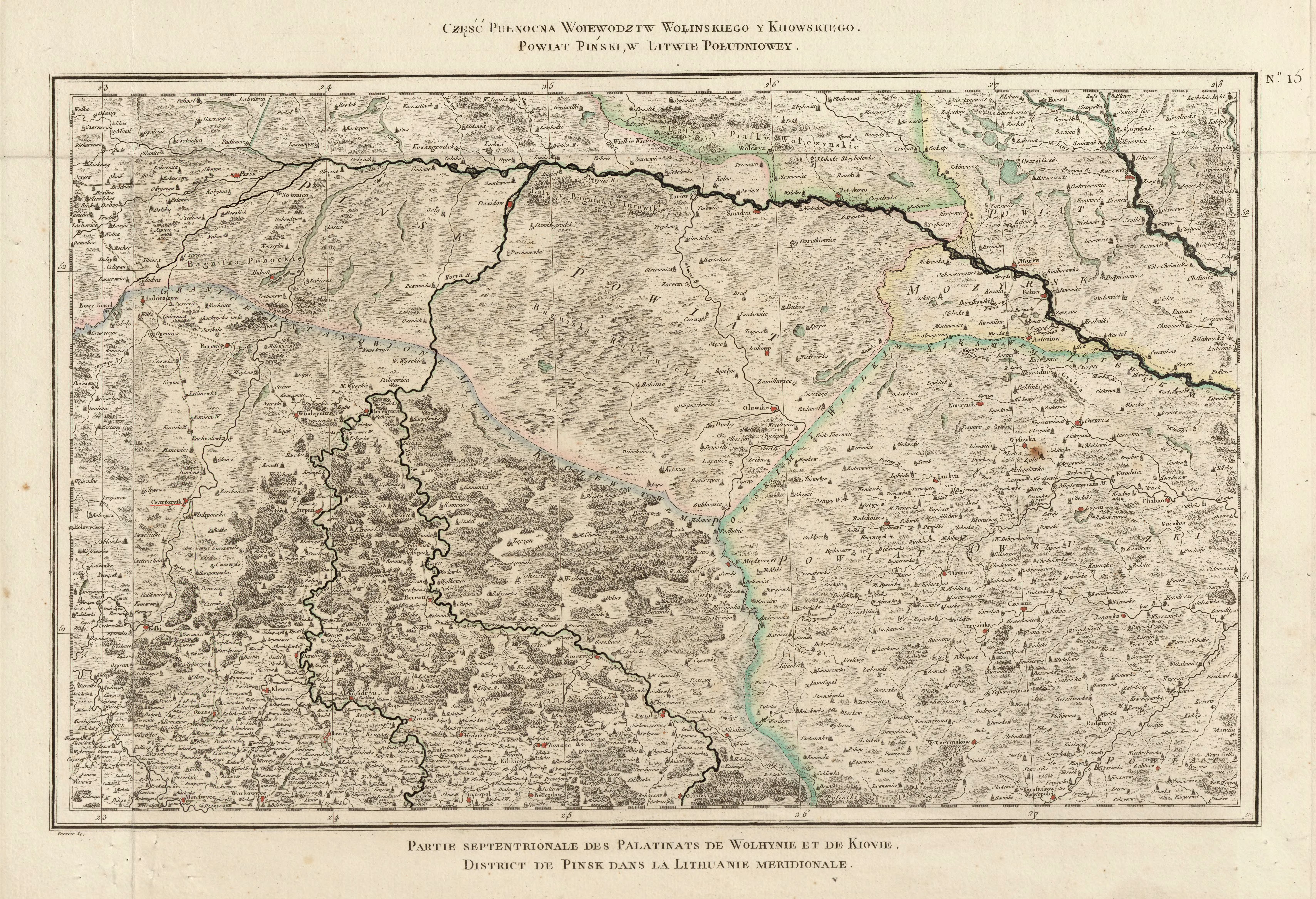
Prykladnyky ( Ukrainian Прикладники ; Russian Прикладники Prikladniki , Polish Przykładniki ) is a village in the north of the Ukrainian Rivne Oblast with about 270 inhabitants (2004).
The village has a border crossing to Belarus and administratively belongs to the district municipality Sentschyzi ( Сенчиці ⊙ ) in Saritschne district . Prykladnyky located on the banks of the river Stochid and on the regional road -76 P 28 km northwest of the Rajonzentrum Zarichne and about 200 km northwest of the Oblastzentrum Rivne .
history
The village was mentioned in writing for the first time in 1554 and was part of the aristocratic republic of Poland-Lithuania in the Brześć Litewski Voivodeship until 1793 . Then it came to the newly founded Minsk Governorate as part of the Russian Empire . After the end of the First World War , the village became part of the Second Polish Republic ( Voivodeship Polesien , Powiat Pińsk, Gmina Chojno), after the outbreak of the Second World War , the area was occupied by the Soviet Union and from 1941 by Germany . In 1945 it finally came to the Soviet Union and was incorporated into the Ukrainian SSR . After the collapse of the Soviet Union in 1991, it finally became part of the independent Ukraine.