
Mulato River
| Mulato River | ||
|
|
||
| Data | ||
| location | Bolivia | |
| River system | Altiplano | |
| Drain over | Río Márquez → Lake Poopó | |
| source |
Municipio Tomave 19 ° 44 ′ 54 ″ S , 66 ° 39 ′ 34 ″ W |
|
| Source height | 3986 m | |
| muzzle |
Río Márquez Coordinates: 19 ° 35 ′ 14 ″ S , 66 ° 53 ′ 54 ″ W 19 ° 35 ′ 14 ″ S , 66 ° 53 ′ 54 ″ W. |
|
| Mouth height | 3785 m | |
| Height difference | 201 m | |
| Bottom slope | 4.7 ‰ | |
| length | 43 km | |
| Left tributaries | Río Callapani, Río Huana Jahuira | |
| Right tributaries | Río Puitokho | |
| Communities | Mulato River | |
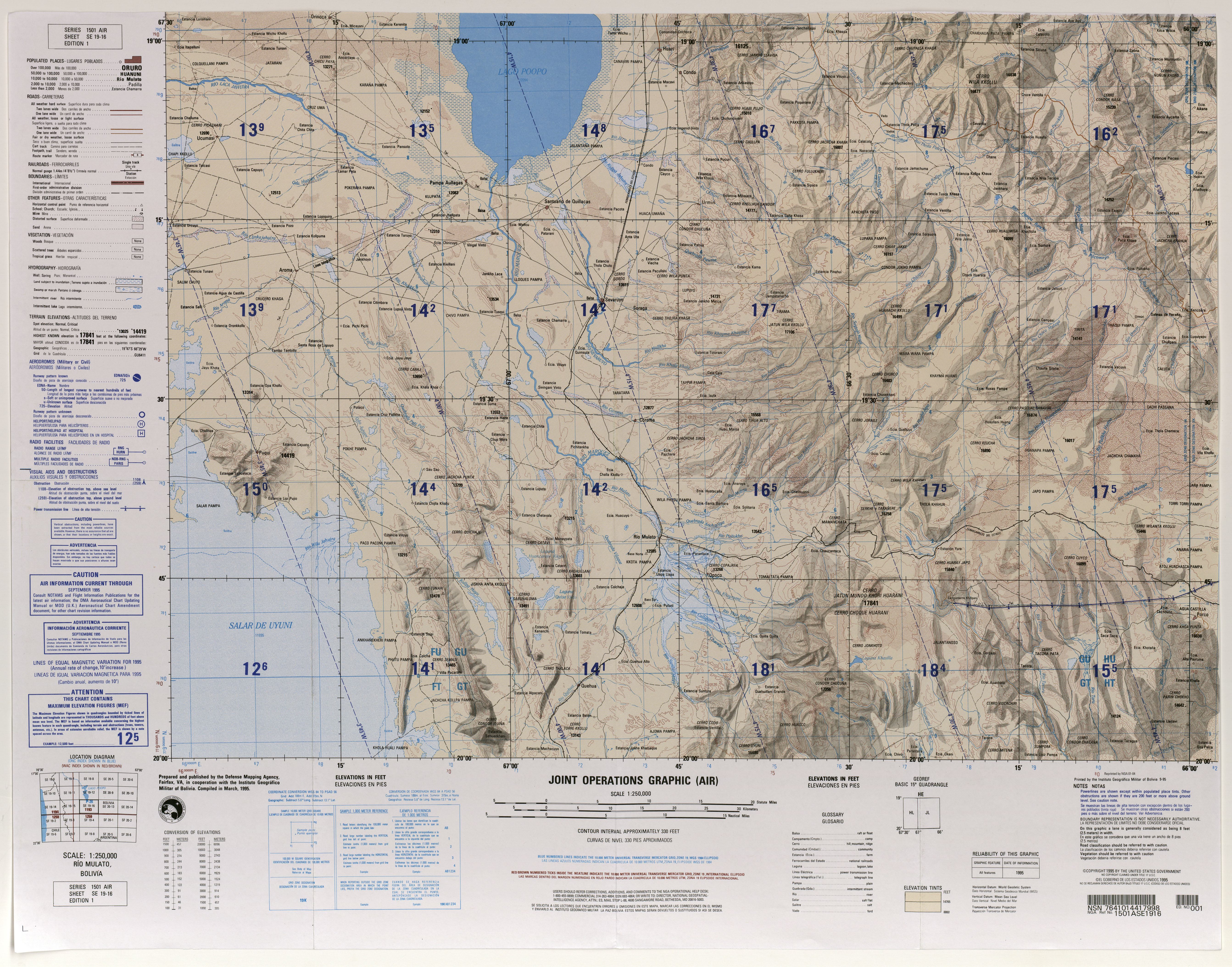
The Río Mulato is a river in the departments of Potosí and Oruro in the highlands of the South American Andean state Bolivia.
The Río Mulato rises in the eastern part of the Cordillera de los Frailes ridge in the municipality of Tomave in the province of Antonio Quijarro in the Department of Potosí, a few kilometers east of the village of Opoco . The river flows along its entire length in a north-westerly direction and after seventeen kilometers passes the village and train station Río Mulato . After a total of 43 kilometers, it joins the Río Márquez , which flows here in a northerly direction and after another 58 kilometers flows into Lake Poopó on its south bank, in the municipality of Pampa Aullagas in the province of Ladislao Cabrera in the Oruro department.
Web links
- Raised relief map Rio Mulato, Bolivia 1: 100,000 (PDF; 9.2 MB)
- Abraham Ender: Explotación de Uranio en Bolivia? (PDF; 586 kB)