Rockport, Massachusetts
| Rockport | ||
|---|---|---|
 Rockport |
||
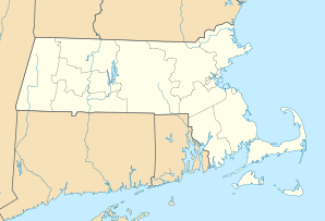
| Location in Massachusetts | ||
|
|
||
| Basic data | ||
| Foundation : | 1623 | |
| State : | United States | |
| State : | Massachusetts | |
| County : | Essex County, Massachusetts | |
| Coordinates : | 42 ° 39 ′ N , 70 ° 37 ′ W | |
| Time zone : | Eastern ( UTC − 5 / −4 ) | |
| Residents : | 6,952 (as of 2010) | |
| Population density : | 993.1 inhabitants per km 2 | |
| Area : | 17.5 km 2 (approx. 7 mi 2 ) of which 7.0 km 2 (approx. 3 mi 2 ) is land |
|
| Height : | 23 m | |
| Postal code : | 01966 | |
| Area code : | +1 351/978 | |
| FIPS : | 25-57880 | |
| GNIS ID : | 0618308 | |
| Website : | Official website | |
Rockport is a place in the US state of Massachusetts and is located in Essex County . The 2010 census showed a population of 6,952.
location
It is located about 25 miles (40 km) northeast of Boston , the capital and largest city of the State of Massachusetts and the New England region , at the tip of Cape Ann , near the New Hampshire border , in Essex County . Rockport is located at the end of a mass transit railway line operated by the Massachusetts Bay Transportation Authority from Boston North Station via Newburyport to Rockport. The nearest international airport is Logan International Airport in Boston.
economy
The place is but today mainly from tourism, but also on the traditional lobster - fishing coined. Rockport is home to many commuters, with a 60 km drive to central Boston .
