Sălăuța
|
Sălăuța Râul Sălăuța, Szálva |
||
|
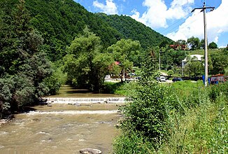
The Sălăuța before Coşbuc . In the back, the railway bridge on the Salva – Vişeu de Jos line |
||
| Data | ||
| location | Bistrița-Năsăud County ( Romania ) | |
| River system | Danube | |
| Drain over | Someșul Mare → Someș → Tisza → Danube → Black Sea | |
| source | Țibleș Mountains | |
| Source height | approx. 1000 m | |
| muzzle | In Someșul Mare near Salva coordinates: 47 ° 18 '2 " N , 24 ° 21' 2" E 47 ° 18 '2 " N , 24 ° 21' 2" E |
|
| Mouth height | 306 m | |
| Height difference | approx. 694 m | |
| Bottom slope | approx. 16 ‰ | |
| length | 44 km | |
| Catchment area | 416 km² | |
| Left tributaries | Strâba, Telc | |
| Right tributaries | Fiad, Bichigiu | |
| Communities | Romuli , Telciu , Coșbuc , Salva | |
|
The Sălăuța in Romania |
||
|
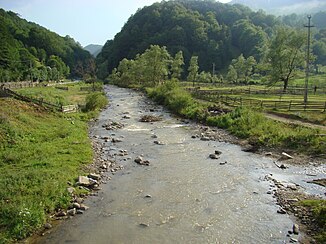
The Sălăuța in Coșbuc |
||
|
The Sălăuţa in Fiad |
||
The Sălăuța (also Râul Sălăuța; Hungarian Szálva ) is a right tributary of the Someșul Mare ( German Great Somesch ) in Romania .
course
The river has its source in the Țibleș Mountains in northern Romania at an altitude of about 1000 m . It flows in a southerly direction through the district of Bistrița-Năsăud . The following places are located on the Sălăuța river: Romuli , Fiad , Telciu , Coșbuc and Salva . In Salva the Sălăuța flows into the Someșul Mare on the right . The Sălăuța has a length of 40 km.
Web links
Commons : Sălăuța river - collection of images, videos and audio files
Individual evidence
- ↑ a b Planul de analiză și acoperire a riscurilor. (PDF; 5.8 MB) Retrieved on August 21, 2020 (Romanian).


