Sander Heide
|
Sander Heide
City of Bergisch Gladbach
Coordinates: 50 ° 58 ′ 52 ″ N , 7 ° 9 ′ 51 ″ E
|
||
|---|---|---|
|
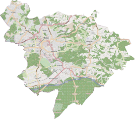
Location of Sander Heide in Bergisch Gladbach |
||
|
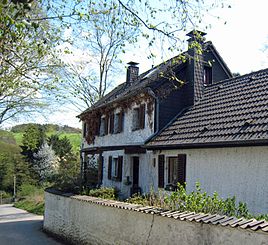
Old house in Sander Heide
|
||
Sander Heide is a district in the Sand district of Bergisch Gladbach .
history
The settlement name Sander Heide refers to an early modern farm with the name Haide in the district of Sand, which was first mentioned in 1663 in the form of "ahn der Heyden" . In the original cadastre it is listed south of Kaltenbroich with the spelling Auf der Heyden . The name Heide referred to the location of the farm on the Bergisch Heidesandstrip.
Individual evidence
- ^ Andree Schulte, Bergisch Gladbach, city history in street names , published by the Bergisch Gladbach city archive, volume 3, and by the Bergisches Geschichtsverein department Rhein-Berg e. V., Volume 11, Bergisch Gladbach 1995, p. 180, ISBN 3-9804448-0-5

