Button bites
|
Button bites
City of Bergisch Gladbach
Coordinates: 50 ° 58 ′ 37 ″ N , 7 ° 9 ′ 35 ″ E
|
||
|---|---|---|
|
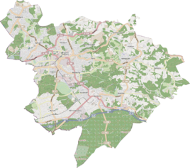
Location of Knoppenbissen in Bergisch Gladbach |
||
|
Farm building in Knoppenbissen
|
||
Knoppenbissen is a district in the Sand district of Bergisch Gladbach .
history
The name Knoppenbissen refers to an early modern settlement. It was first mentioned in 1601 as Knoppenbießen . The village is located on a historical traffic route, which the original cadastre lists as the route from Bensberg to Sand . In the 19th century the settlement still had two farms, in 1905 there was only one farm with two residents. After 1960 the last farm was given up and the arable land was reforested. Today there is only one farm building there.
Mining
In the area around Knoppenbissen, mining was carried out on the Britannia mine , which still shows its traces through heaps and water in former opencast mines.
Individual evidence
- ^ Andree Schulte, Bergisch Gladbach, city history in street names , published by the Bergisch Gladbach city archive, volume 3, and by the Bergisches Geschichtsverein department Rhein-Berg e. V., Volume 11, Bergisch Gladbach 1995, pp. 177 f., ISBN 3-9804448-0-5

