Schwarzer Graben (Elbe)
|
Schwarzer Graben Schwarzer Bach, Weinske |
||
|
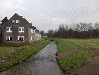
Schwarzer Graben in Audenhain |
||
| Data | ||
| Water code | EN : 5374 | |
| location | North Saxony | |
| River system | Elbe | |
| Drain over | Elbe → North Sea | |
| source | east of Böhlitz 51 ° 26 ′ 16 ″ N , 12 ° 45 ′ 52 ″ E |
|
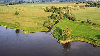
| muzzle | north-east of Dommitzsch in the Elbe Coordinates: 51 ° 38 '45 " N , 12 ° 54' 31" E 51 ° 38 '45 " N , 12 ° 54' 31" E
|
|
| length | 44.4 km | |
| Catchment area | 356 km² | |
| Left tributaries | Auegraben 1, Striehbach, Green Mill Bach | |
| Right tributaries | Zwochauer Graben, Wildschützer Bach, Heide (l) Bach, Kalter Bach | |
| Small towns | Torgau | |
|
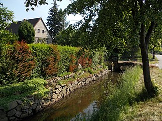
The Schwarze Graben in Melpitz near Torgau |
||
The Schwarze Graben , in the upper reaches of the Schwarzer Bach , in the lower reaches of Weinske, is a flowing body of water in the Free State of Saxony , mainly in the district of Northern Saxony , and to a small extent in the district of Leipzig , which flows into the Elbe near Dommitzsch .
The length of the trench is 44.4 kilometers, with flooding in Audenhain and around the Großer Teich Torgau adding another ten kilometers. The catchment area corresponds in character to that of the plains and is 356 km².
The course of the river rises in the Böhlitz district as a black brook in the area of the Hohburger Berge , flows through Röcknitz , Treben and Schöna as second order waters and becomes first order waters in Schöna. It then flows in the direction of Audenhain and is divided into the old course (Schwarzer Graben) and a floodwater (Schwarzer Bach) built in the 1970s via a distribution structure . After the confluence, the watercourse is called the Schwarzer Graben.
In the direction of Torgau , this body of water in front of the Great Pond is divided again into the south and north floodplains, which flow around the Great Pond and reunite behind it. Parts of the north floodwater are piped. After the water has flowed through the town of Torgau, it changes its name to Weinske at the Döbern road bridge. After flowing past Polbitz to the west , it flows northwest of it and northeast of Dommitzsch at Elbe kilometer 171.6 into the Elbe , which forms the border here Saxony-Anhalt forms.
The Schwarze Graben / Weinske has an average gradient of around 0.1 percent, over a height of 110.21 m above sea level to 72.32 m above sea level.
According to the EU Water Framework Directive, the water type belongs to the North German lowlands and is classified according to the classification of flowing water in:
- Type 15: lowland rivers shaped by sand and clay (Weinske and Schwarzer Graben in the lower reaches),
- Type 18: loess loam shaped lowland brooks (upper reaches and partly backwaters) and
- Type 16: gravel-shaped lowland streams (upper reaches of the Saulachgraben and a tributary of the Heidebach)
structured.
Web links
- Hydrological manual. (PDF; 115 kB) Part 2 - Area Codes. Free State of Saxony - State Office for Environment and Geology, p. 6 , accessed on December 25, 2017 .


