
Stonycreek River
| Stonycreek River | ||
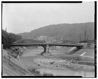 Horner Street Bridge over the Stonycreek River in 1991 |
||
| Data | ||
| Water code | US : 1209340 | |
| location | Pennsylvania ( USA ) | |
| River system | Mississippi River | |
| Drain over | Conemaugh → Kiskiminetas → Allegheny → Ohio → Mississippi → Gulf of Mexico | |
| source | near Berlin 39 ° 55 '37 " N , 78 ° 57" 31 " W. |
|
| Source height | approx. 692 m | |
| confluence | with the Little Conemaugh River at Johnstown Coordinates: 40 ° 19 ′ 51 ″ N , 78 ° 55 ′ 31 ″ W 40 ° 19 ′ 51 ″ N , 78 ° 55 ′ 31 ″ W |
|
| Mouth height | 347 m | |
| Height difference | approx. 345 m | |
| Bottom slope | approx. 4.8 ‰ | |
| length | 72 km | |
| Catchment area | 1,209.5 km² | |
| Left tributaries | Wells Creek , Quemahoning Creek , Bens Creek | |
| Right tributaries | Rhoads Creek , Shade Creek , Paint Creek | |
The Stonycreek River is a 72-kilometer-long left tributary of the Conemaugh River in the southwest of the US state Pennsylvania . It drains an area of around 1,210 square kilometers in Somerset and Cambria counties .
course
The river has its source near Berlin in Somerset County and flows mostly in a northwest direction past Shanksville , where the Rhoads Creek joins, Stoystown and Hooversville . At Hollsopple it takes on the Quemahoning Creek , before it flows a little later at Johnstown with the Little Conemaugh River , which together form the Conemaugh River .
See also
Individual evidence
- ↑ USGS National Map Viewer
- ↑ a b Stonycreek River in the Geographic Names Information System of the United States Geological Survey
- ^ Lycoming College Pennsylvania Gazetter of Streams (PDF)