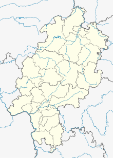
Strucks
Coordinates: 51 ° 18 ′ 46 ″ N , 9 ° 12 ′ 28 ″ E
Strucke was a village settlement in today's district of Istha , a district of Wolfhagen in northern Hesse Kassel district .
The place was located about 3 km southeast of Wolfhagen and about 3 km northwest of Istha, at an altitude of 325 m , at a source that drained west into the Limeckebach at the southwestern foot of the Isthaberg . The field there is called “In den Stücken”. The federal highway 450 from Istha to Wolfhagen runs not far west of the former settlement.
Almost nothing is known about the history of the place. The property register of the Hasungen monastery noted in 1515 that the monastery had tithe in the desolate field marrow of the place .
literature
- Georg Landau : Historical-topographical description of the desolate localities in the Electorate of Hesse and in the grand-ducal Hessian parts of Hessengaue, Oberlahngaue and Ittergaue (= journal of the Association for Hessian History and Regional Studies. Supplement 7, ZDB -ID 200295-4 ). Theodor Fischer, Kassel 1858, p. 176 .
- Heinrich Reimer (Hrsg.): Historical local lexicon for Kurhessen (publications of the historical commission for Hessen). Elwert, Marburg, 1974, p. 461.
Web links
- Strucke, District of Kassel. Historical local dictionary for Hessen. In: Landesgeschichtliches Informationssystem Hessen (LAGIS).
