Theewaterskloof
| Theewaterskloof Theewaterskloof Local Municipality |
|
|---|---|
 |
|
| Basic data | |
| Country | South Africa |
| province | Western cape |
| District | Overberg |
| Seat | Caledon |
| surface | 3248 km² |
| Residents | 108,790 (October 2011) |
| density | 33 inhabitants per km² |
| key | WC031 |
| ISO 3166-2 | ZA toilet |
| Website | www.twk.org.za (English) |
| politics | |
| mayor | Christelle Vosloo |
Coordinates: 34 ° 3 ′ S , 19 ° 34 ′ E
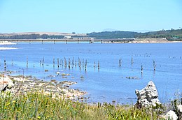
Theewaterskloof is a municipality in the Overberg District , Western Cape Province in South Africa . In 2011 the population was 108,790 on a total area of 3,248 km². The seat of the local government is Caledon . The municipality is named after the Theewaterskloof Dam near Villiersdorp, the largest dam in the region and the main water supply for Cape Town .
Cities and towns
population
In 2011 the community had 108,790 inhabitants. Of this, 62.9% were colored , 26.4% black and 9.4% white.
70.7% Afrikaans, 16.2% IsiXhosa , 3.7% English and 3.4% Sesotho were spoken .
Attractions
- Hottentots-Holland Nature Reserve
- Riviersonderend Nature Reserve
Web links
- The community site (English)
- Portrait at localgovernment.co.za (English)
