Veyre (Célé)
| Veyre | ||
|
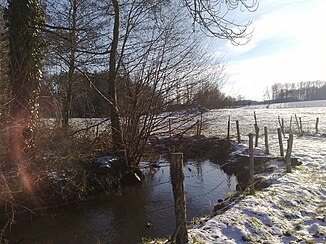
The river at Bessonies |
||
| Data | ||
| Water code | FR : O8280500 | |
| location | France , Auvergne-Rhône-Alpes and Occitania regions | |
| River system | Garonne | |
| Drain over | Célé → Lot → Garonne → Atlantic Ocean | |
| source | on the municipal boundary of Labastide-du-Haut-Mont and Parlan 44 ° 50 ′ 8 ″ N , 2 ° 7 ′ 44 ″ E |
|
| Source height | approx. 703 m | |
| muzzle | on the municipal boundary of Linac and Bagnac-sur-Célé in the Célé coordinates: 44 ° 39 ′ 32 ″ N , 2 ° 7 ′ 19 ″ E, 44 ° 39 ′ 32 ″ N , 2 ° 7 ′ 19 ″ E |
|
| Mouth height | approx. 220 m | |
| Height difference | approx. 483 m | |
| Bottom slope | approx. 15 ‰ | |
| length | 33 km | |
| Catchment area | 99 km² | |
The Veyre is a river in France that runs in the Auvergne-Rhône-Alpes and Occitania regions. It rises under the name Ruisseau d'Embordes on the municipal boundary of Labastide-du-Haut-Mont and Parlan , generally drains in a southerly direction and flows after 33 kilometers at the hamlet of the same name, Le Veyre , on the municipal boundary of Linac and Bagnac-sur-Célé , as a right tributary to the Célé . From its source to about five kilometers from its mouth, the Veyre forms the borderline between the Cantal and Lot departments and thus also between the Auvergne-Rhône-Alpes and Occitania regions.
Places on the river
(Order in flow direction)
Individual evidence
- ↑ Source geoportail.gouv.fr
- ↑ estuary geoportail.gouv.fr
- ↑ a b c The information on the length of the river is based on the information about the Veyre at SANDRE (French), accessed on December 2, 2013, rounded to full kilometers.
