Cheek valley
| Cheek valley | ||
|---|---|---|
|
The Wangental on the German side |
||
| location | Klettgau in the Canton of Schaffhausen , Switzerland / District Waldshut , Germany | |
| Mountains | Beets | |
| Geographical location | 680 300 / 278125 | |
|
|
||
| height | 440 m above sea level M. | |
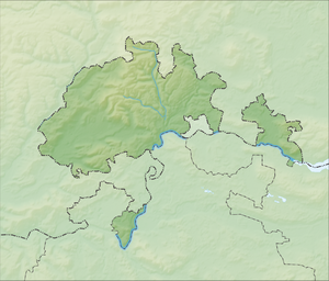
The Wangental is a valley in the Swiss canton of Schaffhausen and the German district of Waldshut .
geography
The Wangental lies between the villages of Jestetten in Germany and Osterfingen in Klettgau in Switzerland and crosses the Randen ridge . To the north of the valley is the Südranden , south of the Kleine Randen . The valley forms part of the German-Swiss border .
The sea ditch, which was only artificially dug in the 16th century to drain the marshy valley, flows through the Wangental in a westerly direction. The water reaches the Rhine via the Wutach . The small desert lake lies right on the border in German territory . Its water flows through the Bitzibrunnengragen eastwards towards Jestetten and there directly into the Rhine.
The Radegg ruin towers high above the valley on the southern edge . Opposite on the Kleiner Randen is the Albführung stud farm on a plateau .
history
In the 1850s there were plans to run the Badische Hauptbahn from Basel to Constance through the Wangental to Jestetten and Schaffhausen . The plans were abandoned again. On June 13, 1863, the Baden main line from Waldshut to Constance via Erzingen and Beringen was opened.
The Wangental is a national reserve on Swiss territory , on the German side lies the Kapellenhalde - Wüster See nature reserve between Baltersweil and Jestetten .
Individual evidence
- ↑ Schaffhauser Magazin 03/1996, page 7, Verlag Steiner + Grüninger AG, Schaffhausen

