
Verkhoyansk Mountains
| Verkhoyansk Mountains | ||
|---|---|---|
 In the southwest of the Verkhoyansk Mountains |
||
| Highest peak | Mus Chaja ( Suntar Chajata ) ( 2959 m ) | |
| location | Sakha Republic (Yakutia) ( Russia ) | |
| part of | East Siberian mountain country | |
|
||
| Coordinates | 67 ° N , 129 ° E | |


The Verkhoyansk Mountains ( Russian Верхоянский хребет , scientific transliteration Verchojanskij chrebet ; Yakut Үөһээ Дьааҥы сис хайата or Верхоянскай сис ) are located in the northeast of Russia ( Asia ).
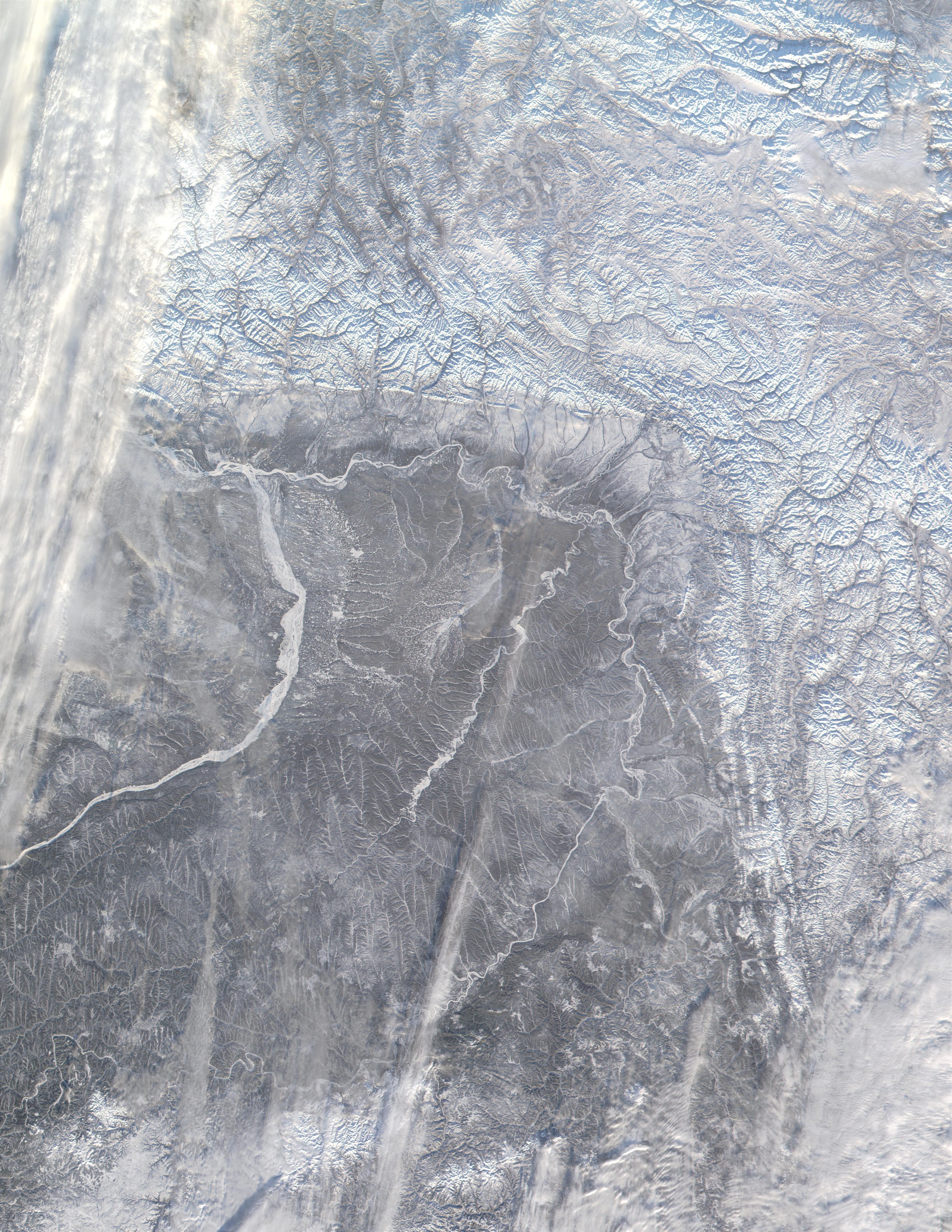
To the north and south of the Arctic Circle and in the middle of Eastern Siberia , the Verkhoyansk Mountains as part of the Eastern Siberian Mountains and mainly in the center of the Sakha Republic (Yakutia) border the Laptev Sea in the north . In the northeast it goes over the lower reaches of Omoloi and Jana into the western part of the Jana Indigirka lowlands and in the east over the Kulargebirge and the highlands of Oymyakon further south into the Tscherski Mountains . In the south-east, the landscape gradually descends over two foothills ( Suntar Chajata and Sette Daban ) to the Sea of Okhotsk . The Dschugdschur Mountains adjoin its coast in the south . In the south-west and west are the river valleys of the Aldans and the Lena and thus the Central Yakutian lowlands ; the Lena leads over to the Czekanowskibergen, southwest of the Lena Delta and northwest of the Verkhoyansk Mountains .
The nearly 1,200-km high mountain extends from the Lena Delta to Aldan creek Tompo . It runs almost exactly parallel to the Tscherski Mountains, some 500 to 600 km to the east; with the Suntar Chajata mentioned above, the hardly populated mountains are over 1,700 km long. In the north the mountains reach a height of 2389 m , in the middle 2295 m and in the south with the Mus Chaja belonging to the mountain range Suntar Chajata even 2959 m .
The high mountains separate the catchment areas of Lena and Jana; in the northern part, roughly in the middle between the two mountains and on the latter river, lies the city of Verkhoyansk . The Jana has its origin in the central part of the Verkhoyansk Mountains, the Indigirka in the south .
Climatically it is considered to be one of the most extraordinary high mountains in the world. It is located directly at the so-called cold pole of all inhabited areas on earth. Temperatures of up to 35 degrees Celsius are measured in summer, while temperatures below −60 degrees Celsius can occur on the east side of the entire mountain range in winter. This means that temperature differences of 100 degrees are possible in some places within a year. Caused by the pure continental climate and the topographical conditions of the surrounding area, pronounced, stable and low-precipitation cold spikes arise on the east side in winter. Winter here usually lasts eight months from the beginning of October to the end of May and even ten months at higher altitudes. Spring and autumn only last a month each. The short summer runs from mid-June to mid-August. The annual average humidity in the area is 70% and is not subject to any fluctuations worth mentioning. Due to the uphill rain , precipitation amounts to around 350 millimeters per year on the west side, whereas on the east side there is only 200 millimeters per year. The Verkhoyansk Mountains have a climatic impact on almost all of Eastern Siberia and are one of the main reasons for the sparsely populated population.
Web links
Individual evidence
- ↑ Article Verkhoyansk Mountains in the Great Soviet Encyclopedia (BSE) , 3rd edition 1969–1978 (Russian)
- ^ World Meteorological Organization's World Weather & Climate Extremes Archive. Accessed December 30, 2018 .
- ↑ Climate tables, average temperatures and the best travel times from Oymyakon in Russia. Accessed December 30, 2018 .