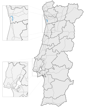
Autoestrada A20
| Autoestrada A 20 in Portugal | |||||||||||||||||||||||||||||||||||||||||||

|
|||||||||||||||||||||||||||||||||||||||||||
| |
|||||||||||||||||||||||||||||||||||||||||||
| map | |||||||||||||||||||||||||||||||||||||||||||
| Basic data | |||||||||||||||||||||||||||||||||||||||||||
| Operator: | Estradas de Portugal | ||||||||||||||||||||||||||||||||||||||||||
| Overall length: | 16 km | ||||||||||||||||||||||||||||||||||||||||||
|
Course of the road
|
|||||||||||||||||||||||||||||||||||||||||||
The Autoestrada A20 or Auto-Estrada CRIP-Circular Regional Interior do Porto is a motorway in Portugal and part of the European route 1 . The highway starts in Carvalhos and ends in Francos .
Bigger cities on the highway
Web links
- Junction points on motorways-exitlists.com

