
Central Island
| Central Island | ||
|---|---|---|
 |
||
| Waters | Turkana lake | |
| Geographical location | 3 ° 30 '5 " N , 36 ° 2' 2" E | |
|
||
| length | 3.2 km | |
| width | 2.2 km | |
| surface | 5 km² | |
| Highest elevation | 550 m | |
| Residents | uninhabited | |

Central Island (also Crocodile Island) is the second largest island in Lake Turkana in Kenya after South Island . Central Island has an area of around five square kilometers.
The national park, located on the island is one of three "National Park on Lake Turkana" the 1997 UNESCO - World Heritage .
administration
By the island, the boundary between the counties runs in a north-south direction at 36 ° 03'20 "O Turkana and Marsabit . The eastern third of the island is in Marsabit County. The island is part of a national park , which is why a fee is payable when visiting.
The island is uninhabited, but has three accommodation facilities for visitors:
- Oasis Lodge
- Lobolo Tented Camp (tent camp)
- Allia Bay Guesthouse (self-catering)
geography
The island is a volcano with three crater lakes with different salt concentrations , the Crocodile Lake , the Flamingo Lake and the Tilapia Lake . The volcano itself is a dormant volcano, which sometimes releases clouds of sulfur. The two largest craters are almost a kilometer long and 80 meters deep. The highest point on the island reaches 550 meters above sea level. NN or 175 meters above the lake level.
climate
The climate is hot and dry. See: Climate in Kenya
fauna

Central Island is the breeding zone for the Nile crocodile . There are around 12,000 Nile crocodiles there. In Flamingo Lake , hosts of flamingos can be seen at times .
Web links
- Central Island National Park
- Central Island National Park ( Memento from May 2, 2015 in the Internet Archive )
- Central Island in the Global Volcanism Program of the Smithsonian Institution (English)
- South and Central Island National Parks
- http://www.africanstudies.ox.ac.uk/sites/sias/files/documents/Vol II.pdf (link not available)
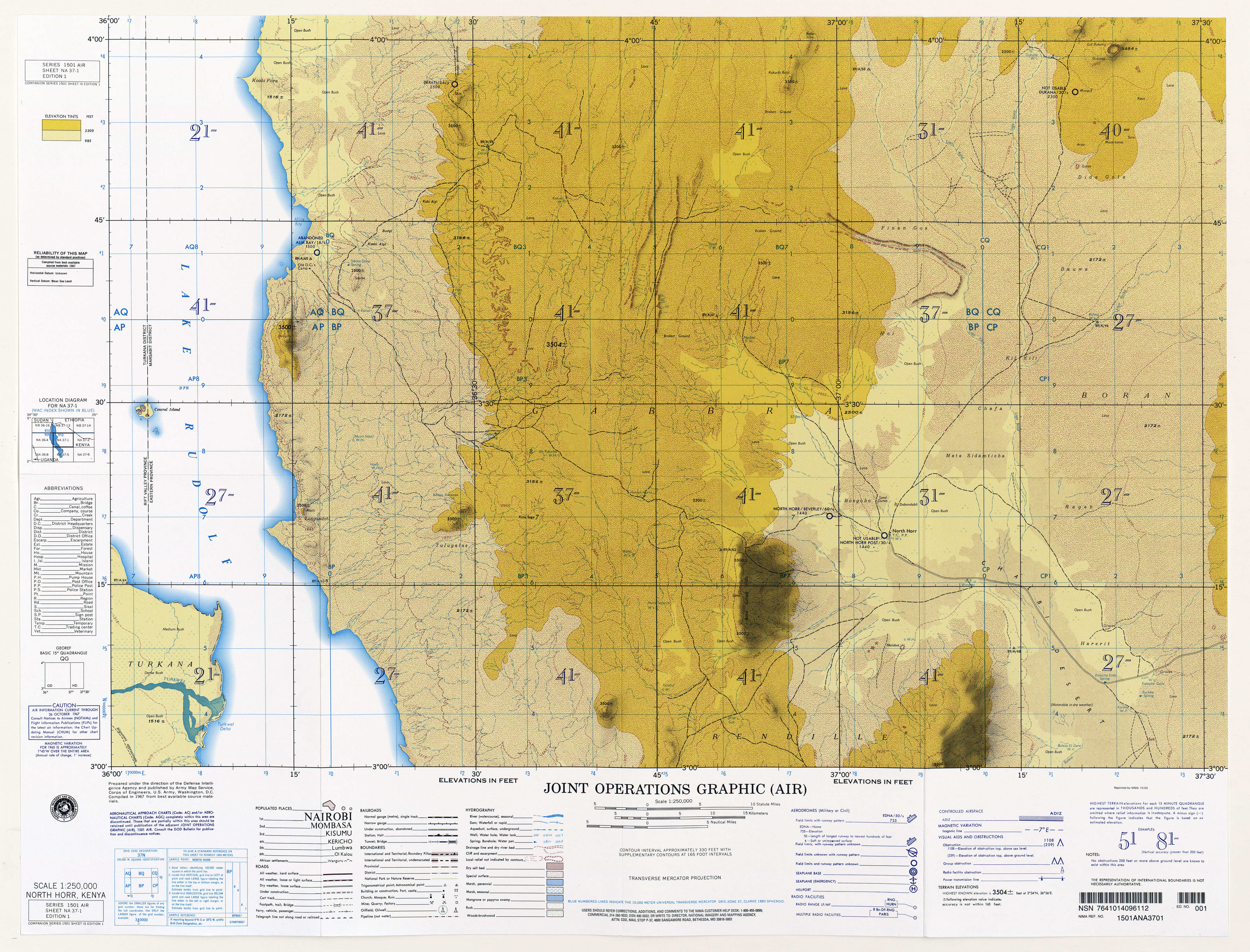
- Map sheet 1: 250,000 with Central Island
swell
- ↑ Entry on the website of the UNESCO World Heritage Center ( English and French ).
- ^ Joint Operations Graphic (Air), Series 1501 Air, Sheet NA 37-1, Edition 1, North Horr, Kenya, Scale 1: 250,000
- ↑ a b sunworld-safari.com

Heritage: Lamu Old Town (2001) | Sacred Kaya Forests of Mijikenda (2008) | Fort Jesus in Mombasa (2011) | Archaeological site Thimlich Ohinga (2018)
Natural heritage: Mount Kenya National Park and Natural Forest (1997) | National parks on Lake Turkana (1997) | Kenyan lake system in the Great Rift Valley (2011)