Gabelbach (Mud)
|
Gabelbach ( Historically : Kirchzeller Bach ) |
||
|
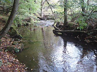
The Gabelbach after the confluence of its source streams |
||
| Data | ||
| Water code | DE : 24722 | |
| location |
Odenwald
|
|
| River system | Rhine | |
| Drain over | Mud → Main → Rhine → North Sea | |
| origin | Confluence of Breitenbach and Teufelsbach 49 ° 34 ′ 45 ″ N , 9 ° 8 ′ 32 ″ E |
|
| Source height | 255 m above sea level NN (at the confluence) | |
| muzzle | east of Kirchzell in the Mud coordinates: 49 ° 37 '10 " N , 9 ° 11' 59" E 49 ° 37 '10 " N , 9 ° 11' 59" E |
|
| Mouth height | 174 m above sea level NN | |
| Height difference | 81 m | |
| Bottom slope | 10 ‰ | |
| length | 8.1 km from the confluence 15.2 km with Breitenbach |
|
|
The Gabelbach (back left) flows into the Mud (from front left to right) |
||
The Gabelbach is a left tributary of the Mud in the Bavarian Odenwald . It arises from the confluence of the Breitenbach and Teufelsbach north of Ernsttal .
geography
Spring streams
Breitenbach
The Breitenbach rises southwest of Breitenbuch . It runs along the Limes to the south and flows through two ponds . It is reinforced by Rotklingenbrunnen and Streitbrunnen and reaches the village of the same name Breitenbach . There the Dörnbach flows to him. At about 7.1 km, the Breitenbach is the longer source stream.
Teufelsbach
The approximately 5.9 km long Teufelsbach rises in Baden-Württemberg south of Schloßau . It runs north through the Devil's Blade . North of Ernsttal it joins the Breitenbach to the Gabelbach.
course
After the confluence of the source streams, the Gabelbach runs through Ottorfszell to Kirchzell . This is where its largest tributary, the Waldbach, flows from the left. North of Buch it flows into the mud, which is only about 13 km long .
Tributaries
- Blade (right)
- Black hedge blade (left)
- Waldbach (left)
- Valley ditch (left)


