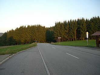
Heidburg (top of the pass)
| Heidburg | |||
|---|---|---|---|
|
Pass height with information sign |
|||
| Compass direction | North | south | |
| Pass height | 525 m above sea level NHN | ||
| state | Baden-Württemberg | ||
| Watershed | Pfausenbächle → Mühlenbach → Kinzig → Rhine | Zinklebächle → Frischnaubach → Elz → Rhine | |
| Valley locations | Mühlenbach | Elzach | |
| expansion | B 294 | ||
| Mountains | Black Forest | ||
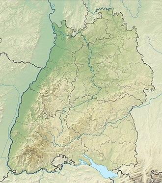
| Map (Baden-Württemberg) | |||
|
|
|||
| Coordinates | 48 ° 13 '7 " N , 8 ° 5' 15" E | ||
Heidburg is a pass at about 525 m above sea level. NHN in the Middle Black Forest between Mühlenbach in a side valley of the Kinzig valley in the Ortenau district and Elzach in the Elz valley in the Emmendingen district .
Location and surroundings
The pass road crosses the district boundary over an open mountain saddle next to the wooded Rotebühl ( 590.5 m ), the summit of which is only 0.5 km away in a north-westerly direction. The Heidburg ( 621.7 m above sea level ), which presumably gives it its name, is located about 1.7 km to the north-west , and the same distance to the south-east of the Finsterkapf ( 690.3 m ).
tourism
At the top of the pass there is a parking lot for hikers, a bus stop and a café. The top of the pass is on the Rottweil – Lahr crossroad in the Black Forest and on the Zweälersteig .
Individual evidence
- ↑ a b State Institute for the Environment Baden-Württemberg (LUBW) ( information )
- ↑ http://www.openstreetmap.org/?lat=48.2212&lon=8.1024&zoom=12&layers=B000FTF
literature
- Topographic map 1: 25,000 Baden-Württemberg, as single sheet No. 7714 Haslach

