Hochkelberg
| Hochkelberg | ||
|---|---|---|
|
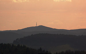
The summit of the Hochkelberg photographed from the goose neck |
||
| height | 674.9 m above sea level NHN | |
| location | Vulkaneifel district , Rhineland-Palatinate , Germany | |
| Mountains | Hocheifel ( Eifel ) | |
| Coordinates | 50 ° 16 '26 " N , 6 ° 57' 11" E | |
|
|
||
| rock | basalt | |
The Hochkelberg in the Vulkaneifel district ( Rhineland-Palatinate ) is 674.9 m above sea level. NHN Höhe the third highest mountain in the Hocheifel and a former stratovolcano .
The Hochkelberg rises between Köttelbach , Bereborn , Kolverath , Sassen and Mosbruch . At the southern foot east of Mosbruch is the Mosbruch pond . The mountain and pond are located in the Hochkelberg nature reserve with the Mosbruch pond .
Originally the rock of today's mountain was about 200 meters below the surface of the earth. During the uplift of the area, its outer areas were removed, the hard basalt core was retained in its current form.
The slopes of the Hochkelberg are covered with dense, species-rich beech forests. The remains of Roman buildings were also found there. There is a transmission tower on the southern tip of the mountain .

