Horodez (Volodymyrez)
| Horodez | ||
| Городець | ||

|
|
|
| Basic data | ||
|---|---|---|
| Oblast : | Rivne Oblast | |
| Rajon : | Volodymyrez district | |
| Height : | 160 m | |
| Area : | 5.221 km² | |
| Residents : | 2,109 (2006) | |
| Population density : | 404 inhabitants per km² | |
| Postcodes : | 34381 | |
| Area code : | +380 3634 | |
| Geographic location : | 51 ° 17 ' N , 26 ° 19' E | |
| KOATUU : | 5620883001 | |
| Administrative structure : | 3 villages | |
| Address: | вул. Авеніра Коломійця 117 34381 с. Городець |
|
| Statistical information | ||
|
|
||
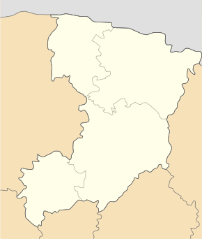
Horodez ( Ukrainian Городець ; Russian Городец Gorodez , Polish Horodziec ) is a village in the west of the Ukrainian Oblast Rivne with about 2100 inhabitants (2006).
The village, founded in 1540, is the administrative center of the district council of the same name , near the bank of the Horyn , a right tributary of the Pripyat .
Horodez is located in the east of Wolodymyrez Rajon on the M 07 / E 373 trunk road, 24 km southeast of the center of Wolodymyrez Rajon and 100 km north of the Oblast capital Rivne . The next larger town is Sarny 27 km east of the village.
The district municipality Horodez also includes the villages Velychiw ( Велихів ) with about 650 inhabitants and Swaryni ( Сварині ) with about 780 inhabitants.
Web links
Commons : Horodez - collection of images, videos and audio files
- Horodziec . In: Filip Sulimierski, Władysław Walewski (eds.): Słownik geograficzny Królestwa Polskiego i innych krajów słowiańskich . tape 3 : Haag – Kępy . Sulimierskiego and Walewskiego, Warsaw 1882, p. 151 (Polish, edu.pl ).
Individual evidence
- ^ Website of the village on the website of the Verkhovna Rada ; accessed on December 9, 2014 (Ukrainian)


